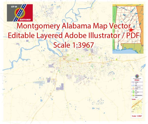
Montgomery, Alabama, has a well-developed transportation infrastructure that supports both local and regional travel.
Vectormap.Net provide you with the most accurate and up-to-date vector maps in Adobe Illustrator, PDF and other formats, designed for editing and printing. Please read the vector map descriptions carefully.
Here’s an overview of its key transportation systems:
Roads and Highways
- Interstate 65 (I-65): A major north-south interstate that runs through Montgomery, connecting the city to Birmingham to the north and Mobile to the south. It is a crucial route for commerce, travel, and regional connectivity.
- U.S. Route 80 (Atlanta Highway): This major east-west highway passes through Montgomery, linking the city to Atlanta, Georgia, to the east and to Selma, Alabama, to the west. It is a significant route for both local and long-distance travel.
- Interstate 85 (I-85): Another important interstate that runs through Montgomery, connecting the city to Atlanta, Georgia, to the east and to Auburn and Opelika, Alabama, to the west. It provides access to major regional destinations.
- Carter Hill Road: A key road in Montgomery that connects various neighborhoods and commercial areas. It is important for local traffic and access to various amenities.
- Zelda Road: A significant route that connects Montgomery with the neighboring town of Zelda and serves as a primary road for accessing different parts of the city.
Public Transit
- Montgomery Area Transit System (MATS): The local bus service providing public transportation throughout Montgomery. MATS operates several bus routes that cover various neighborhoods, commercial areas, and key destinations in the city.
- Greyhound Bus Station: Located in Montgomery, the Greyhound station offers intercity bus services connecting the city with other parts of Alabama and the United States.
Rail
- Freight Rail: Montgomery is served by several freight rail lines, including those operated by Norfolk Southern and CSX Transportation. These railroads handle a significant amount of cargo and contribute to the city’s logistics and economic activity.
- Amtrak: While Montgomery does not have a direct Amtrak station, the nearest Amtrak services can be accessed in nearby cities like Birmingham. Amtrak offers passenger rail services connecting various destinations across the country.
Airports
- Montgomery Regional Airport (MGM): The primary airport serving Montgomery, located about 8 miles (13 kilometers) east of downtown. It offers domestic flights with connections to major hubs in Atlanta, Dallas, and other cities.
Cycling and Walking
- Bike Paths and Lanes: Montgomery has been working on expanding its network of bike paths and lanes to promote cycling as a mode of transportation. There are several designated bike lanes and paths, especially in and around downtown areas.
- Pedestrian Infrastructure: The city features pedestrian-friendly areas, particularly in the downtown district and near key attractions. Sidewalks, crosswalks, and public spaces are designed to accommodate foot traffic and enhance walkability.
Montgomery’s transportation infrastructure supports a range of travel needs, from local commuting and public transit to regional and national connectivity. The city continues to develop and improve its transportation systems to meet the demands of its residents and visitors.


 Author: Kirill Shrayber, Ph.D. FRGS