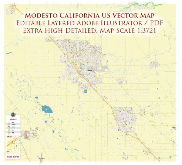
Modesto, California, is a vibrant city with a range of principal streets, roads, and attractions that showcase its community and culture.
Vectormap.Net provide you with the most accurate and up-to-date vector maps in Adobe Illustrator, PDF and other formats, designed for editing and printing. Please read the vector map descriptions carefully.
Here’s an overview:
Principal Streets and Roads
- McHenry Avenue: One of Modesto’s main thoroughfares, McHenry Avenue is a significant commercial corridor with various shopping centers, restaurants, and businesses. It connects to other key areas of the city.
- Standiford Avenue: This street is another major east-west route in Modesto, linking residential neighborhoods with commercial areas and providing access to local amenities.
- Briggsmore Avenue: Briggsmore Avenue is a key road running east-west through the city, connecting different parts of Modesto and providing access to various local services.
- Modesto Downtown Streets: Streets like 10th Street and J Street are central to Modesto’s downtown area, where you’ll find a mix of historic buildings, shops, dining options, and cultural venues.
- Highways: Modesto is connected to major highways including:
- Highway 99 (CA-99): A major north-south route running through the central part of California, providing connections to cities like Sacramento and Fresno.
- Highway 132 (CA-132): An east-west highway that connects Modesto with nearby communities and provides access to rural areas.
City Attractions
- Gallo Center for the Arts: This performing arts venue hosts a variety of shows, including concerts, theater productions, and dance performances. It’s a cultural hub for the city.
- Modesto Arch: An iconic landmark in downtown Modesto, the arch was originally built in 1912 and is a historic symbol of the city.
- McHenry Museum and Historical Society: Located in a historic building, this museum offers exhibits and educational programs on Modesto’s history and heritage.
- Modesto Junior College (MJC) West Campus: The college’s west campus includes the MJC Theater and other facilities that host community events and performances.
- John Thurman Field: Home to the Modesto Nuts, a minor league baseball team, this stadium provides local sports entertainment and community events.
- Graceada Park: A large park in Modesto with green spaces, playgrounds, sports fields, and walking paths, offering recreational opportunities for residents and visitors.
- Turlock Lake State Recreation Area: Located a short drive from Modesto, this area offers boating, fishing, camping, and picnicking opportunities around Turlock Lake.
- California State University, Stanislaus (CSU Stanislaus): The campus often hosts cultural events, lectures, and performances that are open to the public.
These streets, roads, and attractions reflect Modesto’s diverse character and provide various opportunities for residents and visitors to explore and enjoy the city.


 Author: Kirill Shrayber, Ph.D. FRGS