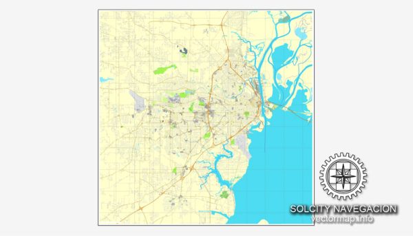
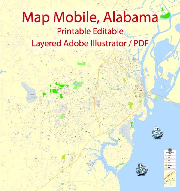
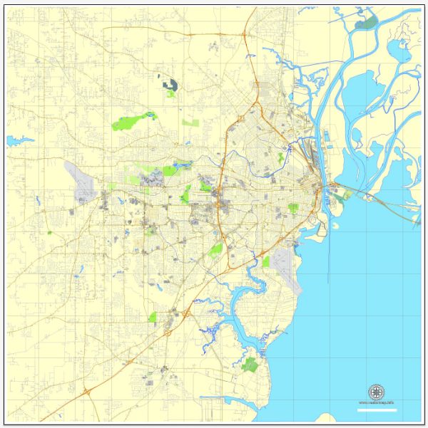
Mobile, Alabama, has a well-developed transportation infrastructure that supports both regional and national connectivity.
Vectormap.Net provide you with the most accurate and up-to-date vector maps in Adobe Illustrator, PDF and other formats, designed for editing and printing. Please read the vector map descriptions carefully.
Here’s an overview:
- Roadways: Mobile is served by major highways including Interstate 10 (I-10), which runs east to west across the southern U.S., connecting Mobile to cities like New Orleans and Jacksonville. Interstate 65 (I-65) runs north to south, linking Mobile to Birmingham and other northern destinations. U.S. Routes 43 and 90 also provide important connections within the region.
- Public Transit: The Mobile Area Transit System (MATS) operates local bus services throughout the city and surrounding areas. While public transit options are available, they may be limited compared to larger metropolitan areas.
- Railroads: Mobile is served by several rail lines, including those operated by CSX Transportation and Norfolk Southern. These railroads facilitate the movement of goods to and from the Port of Mobile and contribute to regional economic activity.
- Ports: The Port of Mobile is a major asset for the city, handling a significant volume of cargo including automobiles, containerized goods, and bulk materials. It is one of the largest and busiest ports in the Gulf of Mexico, providing critical links for trade and industry.
- Airports: Mobile’s regional airport, Mobile Regional Airport (MOB), offers domestic flights and serves as a key gateway for air travel in the area. The airport supports both passenger and cargo services.
- Bridges and Tunnels: The city is connected by several bridges and has access to major transportation routes over the Mobile River and other waterways.
Overall, Mobile’s transportation infrastructure supports its role as a key commercial hub in the Gulf Coast region, facilitating the movement of goods and people both locally and beyond.


 Author: Kirill Shrayber, Ph.D. FRGS