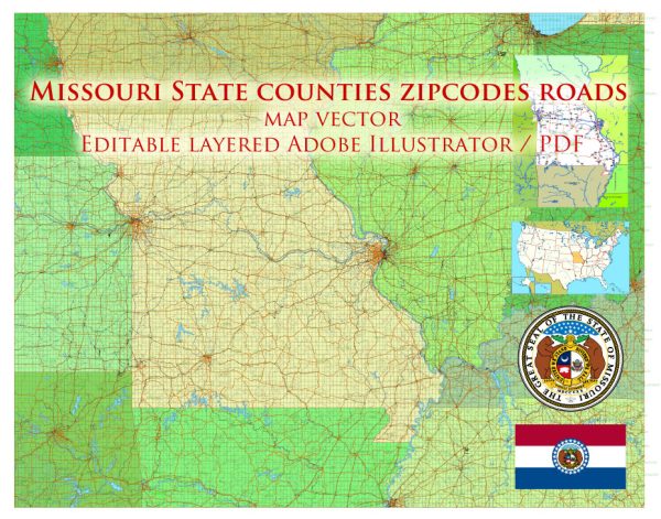
Missouri’s transportation infrastructure features an extensive and well-developed network of highways and railways, which play a critical role in connecting the state with regional and national markets.
Vectormap.Net provide you with the most accurate and up-to-date vector maps in Adobe Illustrator, PDF and other formats, designed for editing and printing. Please read the vector map descriptions carefully.
The highway and railway systems support both economic activities and everyday travel for residents.
Highway System
Missouri’s highway system is divided into interstate highways, U.S. highways, state highways, and local roads.
Interstate Highways
- Interstate 70 (I-70)
- Overview: I-70 is a major east-west route that runs through Missouri from east to west. It connects St. Louis to the east and Kansas City to the west, linking Missouri with major cities like Indianapolis, Columbus, and Denver.
- Key Cities: The highway passes through key Missouri cities, including St. Louis, Columbia, and Kansas City, facilitating commerce and travel between these major urban centers.
- Interstate 44 (I-44)
- Overview: I-44 runs from the southwestern corner of Missouri, near Joplin, to the northeastern part of the state, reaching to St. Louis. It connects Missouri to Tulsa and Oklahoma City to the southwest and extends towards Chicago to the northeast.
- Key Cities: Important cities along I-44 include Joplin, Springfield, and St. Louis.
- Interstate 55 (I-55)
- Overview: I-55 runs from the southern part of Missouri, entering from Arkansas, to the northern part, connecting to Chicago. It is a key north-south corridor.
- Key Cities: It runs through Cape Girardeau and St. Louis, linking these areas with southern and northern destinations.
- Interstate 64 (I-64)
- Overview: I-64 runs from the eastern part of Missouri, connecting to St. Louis, to the western part of the state, extending towards Kansas City and eventually connecting to major cities like Louisville and Charleston.
- Key Cities: In Missouri, it primarily serves the St. Louis metropolitan area.
- Interstate 70 (I-70)
- Overview: A major east-west highway that connects the state from St. Louis to Kansas City. It provides a vital link between Missouri’s largest cities and extends further east and west across the country.
U.S. Highways
- U.S. Highway 40 (US 40)
- Overview: US 40 runs parallel to I-70 through Missouri, providing an alternate route. It connects St. Louis with eastern and western destinations.
- U.S. Highway 63 (US 63)
- Overview: US 63 runs from the southern border near Arkansas to the northern border, passing through cities like Columbia and Rolla. It is a major north-south route in the state.
- U.S. Highway 71 (US 71)
- Overview: US 71 runs from the southern part of Missouri near Joplin to the northern border, connecting with major cities like Kansas City.
State Highways
Missouri maintains an extensive network of state highways that connect rural areas with urban centers and support local and regional transportation needs. Key state highways include:
- Missouri Route 36: A major east-west highway that connects St. Joseph with Hannibal and extends towards the eastern part of the state.
- Missouri Route 13: Running north-south, it connects Springfield with the Kansas City area and serves as a significant regional route.
Railway System
Missouri’s railway system is an important part of the state’s transportation infrastructure, supporting both freight and passenger services.
Freight Rail
- Class I Railroads
- BNSF Railway: One of the major freight rail operators in Missouri, BNSF operates extensive lines across the state, providing connections from Kansas City to St. Louis and beyond.
- Union Pacific Railroad (UP): UP operates lines across the state, connecting Missouri with major hubs in the Midwest and the West, including routes from St. Louis to Kansas City and Chicago.
- Kansas City Southern Railway (KCS): KCS provides important freight connections between Missouri and southern markets, including Texas and Mexico.
- Short Line Railroads
- Various short lines: Numerous short line railroads operate in Missouri, providing critical links for regional and local freight transport. These lines often connect smaller towns and industries with major Class I railroads.
Passenger Rail
- Amtrak
- Missouri is served by several Amtrak routes:
- The Missouri River Runner: Connects St. Louis and Kansas City, providing passenger service between these major urban centers.
- The Texas Eagle: Runs from Chicago to San Antonio, with stops in St. Louis, providing an east-west passenger route.
- The Cardinal: Connects Chicago with New York City, passing through St. Louis and offering service to other regional destinations.
- Missouri is served by several Amtrak routes:
Rail Infrastructure
- Maintenance and Upgrades: Missouri’s rail infrastructure is continuously maintained and upgraded to support the growing demand for freight and passenger services. Efforts include improving track conditions, enhancing safety features, and expanding capacity.
Ports and Intermodal Facilities
- Mississippi River Ports
- Overview: The Mississippi River, which forms the eastern boundary of Missouri, is a major transportation corridor for goods. Key ports include those in St. Louis and Cape Girardeau.
- Facilities: These ports support bulk commodities, including grain, coal, and chemicals, and are connected to the rail and highway systems for efficient transportation.
- Intermodal Facilities
- Overview: Missouri has several intermodal facilities that facilitate the transfer of goods between rail, road, and river transport. These facilities are crucial for supporting the state’s logistics and manufacturing sectors.
Missouri’s transportation infrastructure, including its extensive network of highways and railways, plays a critical role in supporting the state’s economy and connectivity. The system is well-integrated, providing efficient movement of goods and people throughout the state and across the country.


 Author: Kirill Shrayber, Ph.D. FRGS