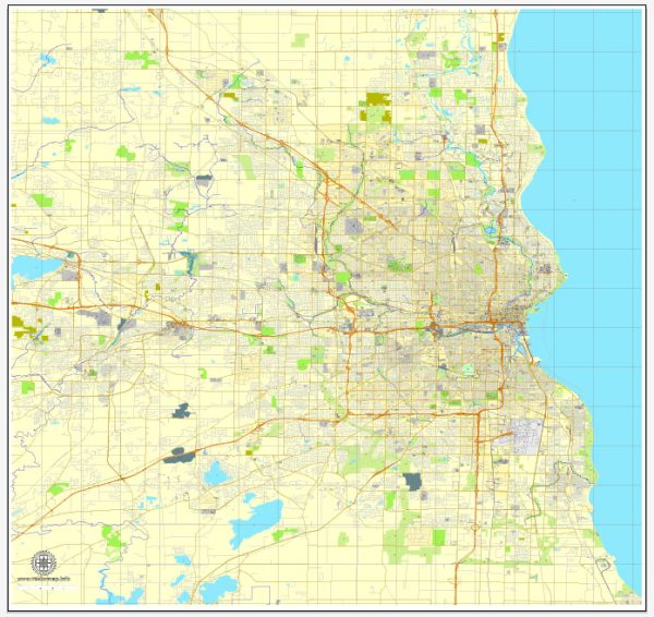
Milwaukee, Wisconsin, has a well-developed transportation infrastructure that serves as a hub for the state’s southeastern region. It includes highways, railways, public transit, airports, and ports, all contributing to the movement of people and goods within the city and beyond.
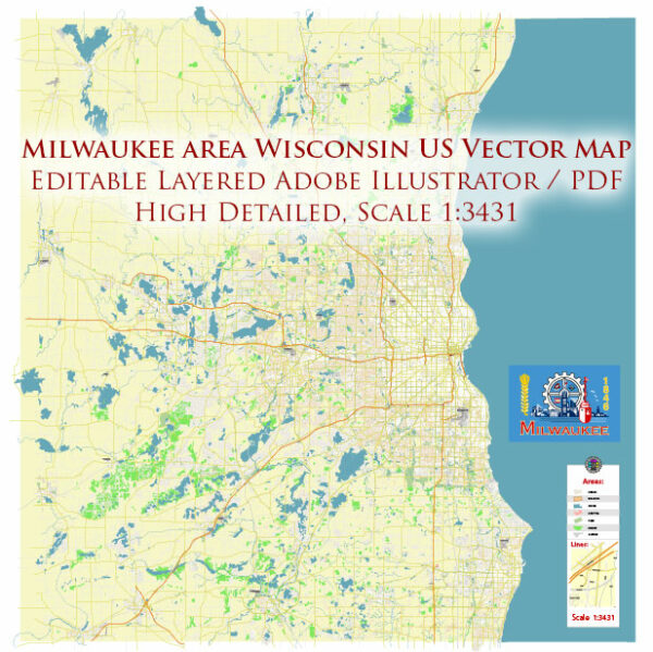
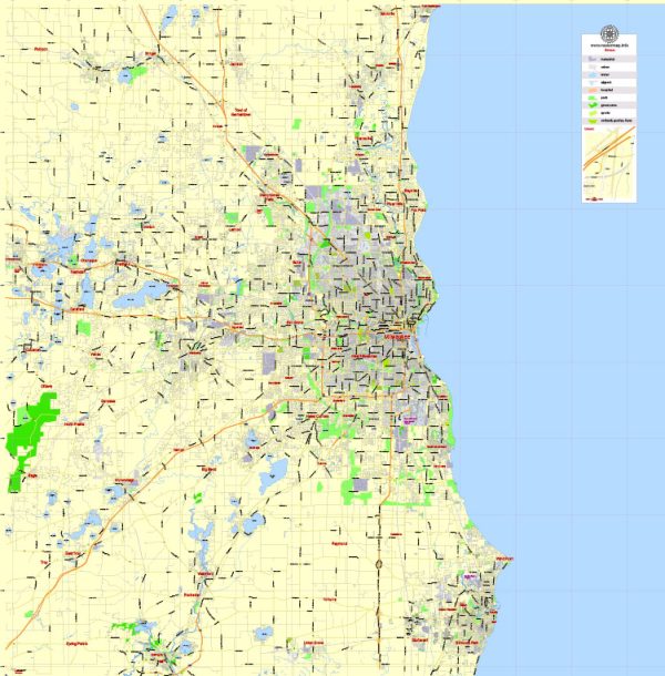
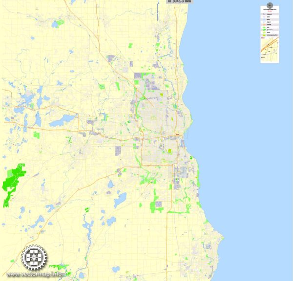
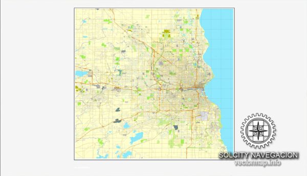
Vectormap.Net provide you with the most accurate and up-to-date vector maps in Adobe Illustrator, PDF and other formats, designed for editing and printing. Please read the vector map descriptions carefully.
Here’s an overview:
1. Highways and Roads
- Interstate Highways: Milwaukee is served by several major interstate highways, including I-94, I-43, and I-41. I-94 is a critical corridor that connects Milwaukee to Chicago to the south and Madison to the west, while I-43 runs north-south through the city, linking it to Green Bay and Beloit.
- State Highways: Several state highways provide additional connectivity within Milwaukee and to surrounding areas, such as Highway 41, 45, and 145.
- Local Roads: The city’s grid pattern and arterial roads facilitate local traffic. Major thoroughfares like Wisconsin Avenue, North Avenue, and Capitol Drive are key routes for city traffic.
2. Railroads
- Freight Rail: Milwaukee is a significant freight hub, with railroads such as Canadian Pacific, Union Pacific, and CSX providing essential links for the transportation of goods, including manufacturing materials and agricultural products.
- Passenger Rail: Amtrak’s Hiawatha Service provides frequent connections between Milwaukee and Chicago, making it a vital commuter link. The Empire Builder line also connects Milwaukee with cities across the northern United States, including Minneapolis and Seattle.
3. Airports
- Milwaukee Mitchell International Airport (MKE): This is the largest airport in Wisconsin, offering both domestic and international flights. It serves as a regional hub for air travel, with connections to major cities across the U.S. and seasonal flights to international destinations.
- General Mitchell Field Air Reserve Station: Adjacent to the commercial airport, this facility supports military air operations.
- General Aviation: Smaller airports like Lawrence J. Timmerman Airport (MWC) serve general aviation needs, including private flights, charters, and flight training.
4. Ports and Waterways
- Port of Milwaukee: Located on the western shore of Lake Michigan, the Port of Milwaukee is a key Great Lakes port, handling a wide range of cargo including steel, salt, cement, and agricultural products. The port also serves as a gateway for international shipping via the St. Lawrence Seaway.
- Lake Michigan: The lake is used for recreational boating and supports commercial shipping. The Milwaukee River also runs through the city, providing additional waterway connectivity, though it is primarily used for recreational purposes today.
5. Public Transit
- Milwaukee County Transit System (MCTS): This is the primary public transit provider, operating an extensive bus network that covers the city and surrounding suburbs. The system includes high-frequency routes, express buses, and local services.
- The Hop: Milwaukee’s modern streetcar system, known as The Hop, operates in the downtown area, providing a convenient transit option for residents and tourists.
- Intercity Bus Services: Companies like Greyhound and Megabus offer intercity bus connections to Chicago, Madison, and other regional destinations.
6. Cycling and Pedestrian Infrastructure
- Milwaukee has invested in bike-friendly infrastructure, including bike lanes, bike-sharing programs (Bublr Bikes), and the Oak Leaf Trail, which provides a scenic route for cyclists and pedestrians throughout the city and county.
- Pedestrian Areas: Downtown Milwaukee has several pedestrian-friendly zones, with wide sidewalks, crosswalks, and pedestrian bridges over major roads and the Milwaukee River.
7. Challenges and Opportunities
- Aging Infrastructure: Like many older cities, Milwaukee faces challenges related to aging infrastructure, particularly in its roadways, bridges, and public transit systems, which require ongoing maintenance and modernization.
- Public Transit Expansion: There are ongoing discussions and plans for expanding public transit, including potential extensions of The Hop streetcar system and improved bus rapid transit (BRT) routes.
- Environmental Impact: Milwaukee is also focusing on sustainable transportation initiatives, including efforts to reduce the environmental impact of its transportation network, such as promoting electric vehicles and enhancing public transit options.
Milwaukee’s transportation infrastructure is integral to the city’s economy and quality of life, facilitating commerce, commuting, and tourism in this vital Midwestern urban center.

 Author: Kirill Shrayber, Ph.D. FRGS