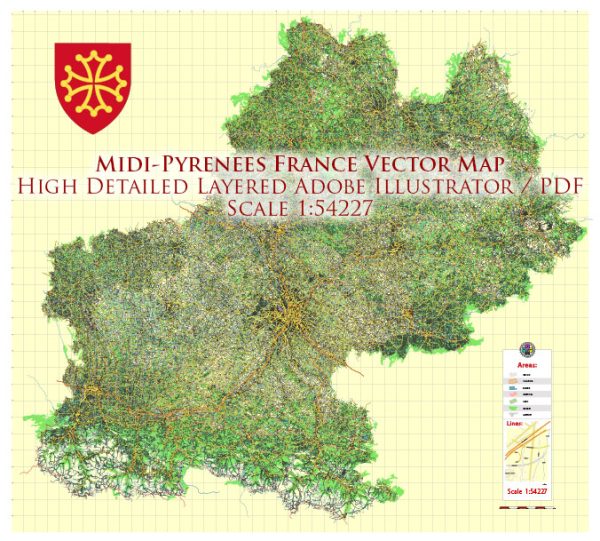
Midi-Pyrénées was an administrative region in the southwest of France. However, please note that administrative regions in France have been reorganized, and Midi-Pyrénées no longer exists as a separate region. Instead, it has been merged with Languedoc-Roussillon to form the new administrative region of Occitanie.
Vectormap.Net provide you with the most accurate and up-to-date vector maps in Adobe Illustrator, PDF and other formats, designed for editing and printing. Please read the vector map descriptions carefully.
Nonetheless, I can provide you with information on some of the notable cities and towns that were part of Midi-Pyrénées before the administrative reorganization. Keep in mind that administrative changes may have occurred since then.
- Toulouse: The capital city of the region and known for its aerospace industry, Toulouse is a vibrant city with a rich cultural heritage. It has historical sites, museums, and a lively atmosphere.
- Montauban: Located on the banks of the Tarn River, Montauban is known for its beautiful red brick buildings and its connection to the painter Ingres.
- Albi: Famous for the Cathedral of Saint Cecilia, a UNESCO World Heritage site, Albi is a picturesque town on the banks of the Tarn River.
- Tarbes: Situated in the foothills of the Pyrenees, Tarbes is known for its gardens, parks, and the Jardin Massey.
- Cahors: This town is known for the medieval Pont Valentré, a fortified bridge spanning the Lot River. Cahors is also renowned for its wine.
- Foix: The capital of the Ariège department, Foix is known for its medieval castle overlooking the town.
- Lourdes: A major pilgrimage site, Lourdes attracts millions of visitors each year due to the reported Marian apparitions.
Regarding principal roads, the region was well-connected with a network of highways and roads. The A61 and A62 autoroutes were major highways passing through the region, connecting Toulouse to other parts of France. The region also had a network of smaller roads connecting towns and villages, providing scenic routes through the Pyrenees and the countryside.


 Author: Kirill Shrayber, Ph.D. FRGS