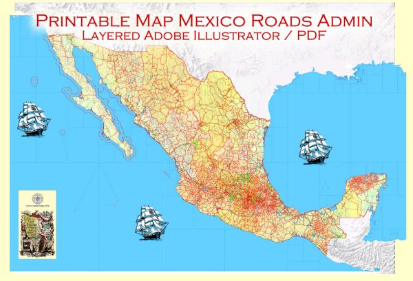
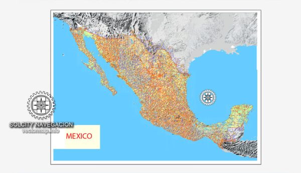
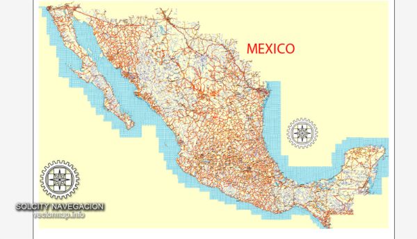
Mexico is divided into 32 federal entities, which include 31 states and the capital city, Mexico City.
Vectormap.Net provide you with the most accurate and up-to-date vector maps in Adobe Illustrator, PDF and other formats, designed for editing and printing. Please read the vector map descriptions carefully.
Here is a list of the states along with their respective capital cities:
- Aguascalientes – Aguascalientes
- Baja California – Mexicali
- Baja California Sur – La Paz
- Campeche – San Francisco de Campeche
- Chiapas – Tuxtla Gutiérrez
- Chihuahua – Chihuahua
- Coahuila – Saltillo
- Colima – Colima
- Durango – Durango
- Guanajuato – Guanajuato
- Guerrero – Chilpancingo
- Hidalgo – Pachuca
- Jalisco – Guadalajara
- México – Toluca
- Michoacán – Morelia
- Morelos – Cuernavaca
- Nayarit – Tepic
- Nuevo León – Monterrey
- Oaxaca – Oaxaca de Juárez
- Puebla – Puebla de Zaragoza
- Querétaro – Santiago de Querétaro
- Quintana Roo – Chetumal
- San Luis Potosí – San Luis Potosí
- Sinaloa – Culiacán
- Sonora – Hermosillo
- Tabasco – Villahermosa
- Tamaulipas – Ciudad Victoria
- Tlaxcala – Tlaxcala
- Veracruz – Xalapa
- Yucatán – Mérida
- Zacatecas – Zacatecas
Additionally, Mexico City, officially known as Ciudad de México, serves as the capital of the country and is not part of any state. It is a federal district with its own administrative status.


 Author: Kirill Shrayber, Ph.D. FRGS