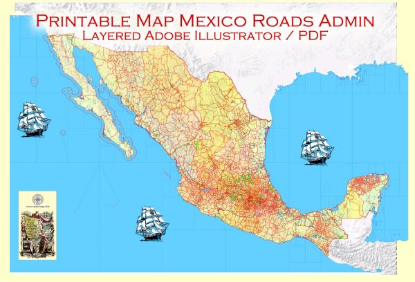
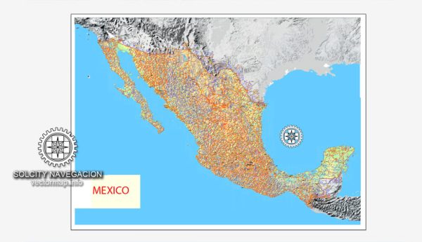
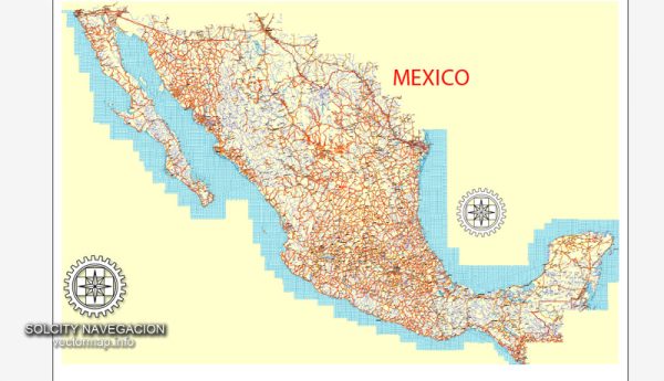
Mexico is a diverse and geographically varied country with a rich cultural heritage.
Vectormap.Net provide you with the most accurate and up-to-date vector maps in Adobe Illustrator, PDF and other formats, designed for editing and printing. Please read the vector map descriptions carefully.
Here’s a broad overview of its cities, towns, roads, and maritime infrastructure:
Cities:
- Mexico City (Ciudad de México):
- The capital and largest city.
- Rich in history and culture, home to numerous museums, historic sites, and vibrant neighborhoods.
- Economic and political hub of the country.
- Guadalajara:
- Second-largest city, known for its tequila production and vibrant arts scene.
- Economic and cultural center of western Mexico.
- Monterrey:
- Industrial hub in the north, with a strong focus on manufacturing and business.
- Surrounded by mountains, offering a picturesque backdrop.
- Puebla:
- Historic city known for its colonial architecture and culinary delights.
- UNESCO World Heritage Site.
- Cancún:
- Famous for its beautiful beaches and vibrant nightlife.
- Major tourist destination, especially for those seeking sun and sand.
- Tijuana:
- A border city with the United States, known for its diverse culture and vibrant food scene.
- Economic ties with San Diego make it a significant economic center.
Towns:
- San Miguel de Allende:
- Colonial town with cobblestone streets and well-preserved architecture.
- Artsy and cultural, attracts a significant expatriate community.
- Oaxaca City:
- Known for its indigenous cultures, crafts, and vibrant festivals.
- UNESCO World Heritage Site.
- Guanajuato:
- Historic mining town with colorful buildings and a network of underground streets.
- UNESCO World Heritage Site.
Roads:
- Mexican Federal Highway System:
- A comprehensive network of highways connecting cities and regions.
- Well-maintained roads facilitate transportation and trade.
- Cuota (toll) and Libre (free) Roads:
- Cuota roads provide faster and more direct routes, while Libre roads are often more scenic but may take longer.
Maritime Infrastructure:
- Ports:
- Mexico has numerous ports along both the Pacific and Gulf coasts, including Veracruz, Manzanillo, and Ensenada.
- Crucial for international trade and commerce.
- Coastlines:
- Extensive coastlines along the Pacific Ocean, Gulf of Mexico, and the Caribbean Sea.
- Popular destinations for tourism and water-related activities.
- Maritime Trade:
- Mexico is a significant player in global maritime trade, with its ports handling various goods and facilitating imports and exports.
- Cancún International Airport:
- While not maritime, it’s worth noting as a major gateway for international tourists and plays a crucial role in Mexico’s tourism industry.
Remember that this overview is not exhaustive, and there are many more cities, towns, and regions with unique characteristics and attractions throughout Mexico.


 Author: Kirill Shrayber, Ph.D. FRGS