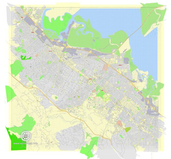
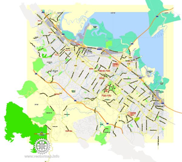
Menlo Park is a city located in San Mateo County, California, United States, situated in the southern part of the San Francisco Peninsula. It is known for its affluent residential neighborhoods, proximity to Silicon Valley, and the presence of major tech companies.
Vectormap.Net provide you with the most accurate and up-to-date vector maps in Adobe Illustrator, PDF and other formats, designed for editing and printing. Please read the vector map descriptions carefully.
Districts and Communities:
- Downtown Menlo Park:
- This area is the city’s central business district and features a mix of retail shops, restaurants, and offices.
- Santa Cruz Avenue is a prominent street in downtown, lined with shops and eateries.
- The Menlo Park Caltrain station is nearby, connecting residents to various parts of the Bay Area.
- Sharon Heights:
- An affluent residential neighborhood located in the western part of Menlo Park.
- Known for its spacious homes and proximity to the Sharon Heights Golf & Country Club.
- Allied Arts Guild:
- A historic shopping area and cultural center with gardens, galleries, and artisan shops.
- It’s known for its Spanish-style architecture and provides a unique shopping and dining experience.
- Belle Haven:
- Situated on the eastern side of the city, Belle Haven has a mix of residential and industrial areas.
- It has undergone redevelopment efforts in recent years to enhance housing and community facilities.
- The Willows:
- A residential neighborhood known for its tree-lined streets and diverse architectural styles.
- Conveniently located near highways and close to shopping and dining options.
Main Streets:
- Santa Cruz Avenue:
- The main thoroughfare in downtown Menlo Park, offering a variety of shops, boutiques, and restaurants.
- It serves as a focal point for community events and gatherings.
- El Camino Real:
- A major north-south thoroughfare that runs through Menlo Park and connects various cities on the Peninsula.
- Features a mix of commercial and residential areas.
- Sand Hill Road:
- Known for its concentration of venture capital firms and proximity to Stanford University.
- Home to many tech companies and startups, contributing to Menlo Park’s association with Silicon Valley.
- Alameda de las Pulgas:
- A scenic road that traverses Menlo Park, offering access to residential neighborhoods.
- Known for its tree-lined streets and charming homes.
Menlo Park is a dynamic and diverse community with a mix of residential, commercial, and cultural spaces. The city’s proximity to major tech hubs makes it a sought-after location for professionals working in the tech industry. Keep in mind that neighborhood characteristics can evolve, so it’s advisable to check for the latest information for the most accurate and up-to-date details.


 Author: Kirill Shrayber, Ph.D. FRGS