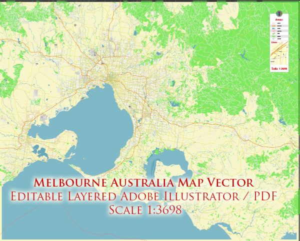
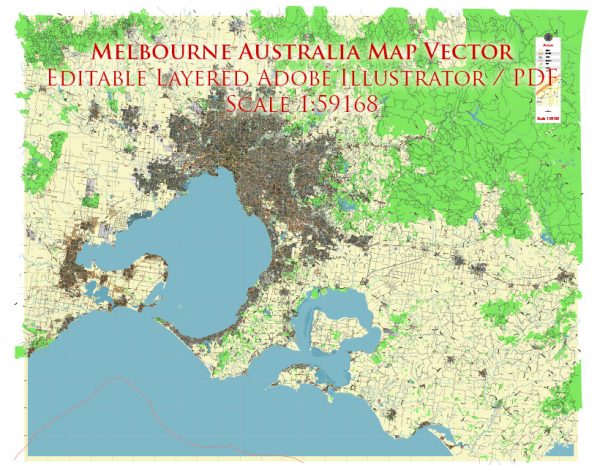
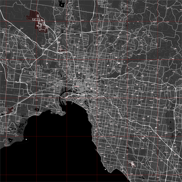
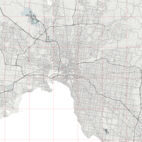
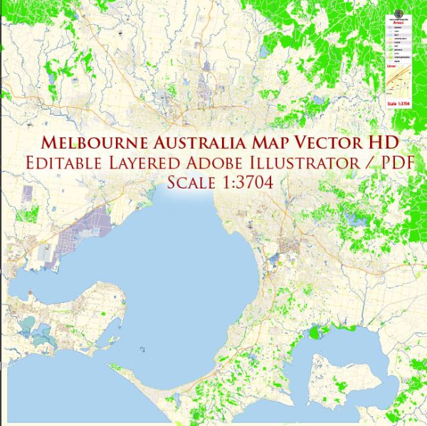
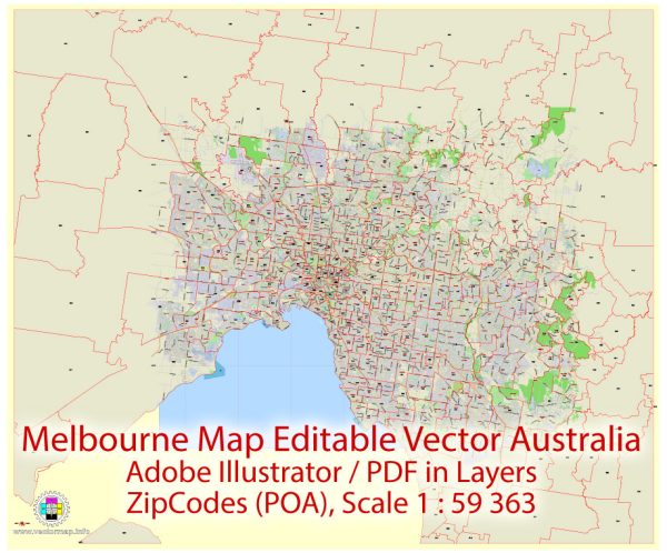
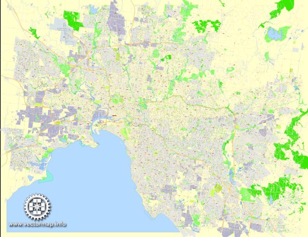
A general overview of the ports, marinas, and main streets and roads in Melbourne, Australia.
Vectormap.Net provide you with the most accurate and up-to-date vector maps in Adobe Illustrator, PDF and other formats, designed for editing and printing. Please read the vector map descriptions carefully.
Ports:
- Port of Melbourne: The Port of Melbourne is Australia’s largest and busiest seaport, handling a significant portion of the country’s container trade. It is located at the mouth of the Yarra River.
Marinas:
- Victoria Harbour Marina: Situated in the Docklands area, this marina offers berths for boats and yachts, as well as waterfront dining and entertainment options.
- St Kilda Marina: Located in the suburb of St Kilda, this marina provides facilities for both commercial and recreational vessels. It offers services such as boat storage, repairs, and fueling.
Main Streets and Roads:
- Flinders Street: A major street in the central business district (CBD) of Melbourne, known for Flinders Street Station and its iconic clocks. It runs parallel to the Yarra River.
- Collins Street: Another prominent street in the CBD, Collins Street is known for its high-end shopping, business offices, and historic architecture.
- Bourke Street: A popular shopping and entertainment street in Melbourne, Bourke Street is pedestrian-friendly and features various retail outlets, restaurants, and street performers.
- Swanston Street: Running through the heart of Melbourne, Swanston Street is a major thoroughfare with shops, cafes, and cultural institutions. It is often bustling with pedestrians.
- Kings Way: A major road connecting the CBD to the southeastern suburbs, passing through South Melbourne and Albert Park.
- West Gate Freeway: A significant freeway connecting the western suburbs, including the Port of Melbourne, to the CBD. It crosses the Yarra River and provides access to the West Gate Bridge.
- Eastern Freeway: Connecting the CBD to the eastern suburbs, the Eastern Freeway is a key arterial road with several exits leading to different parts of Melbourne.
- CityLink: A tolled urban freeway that connects various parts of Melbourne, including the Tullamarine Freeway to the airport and the West Gate Freeway.
It’s crucial to note that Melbourne’s infrastructure and urban landscape can undergo changes, so it’s recommended to consult local maps or navigation apps for the most up-to-date information on ports, marinas, streets, and roads in Melbourne.

 Author: Kirill Shrayber, Ph.D.