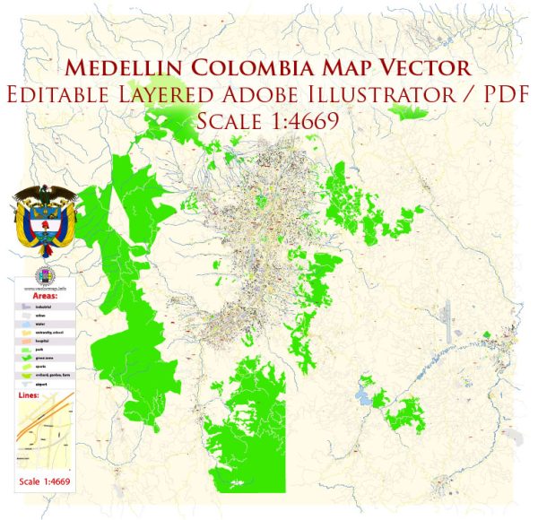
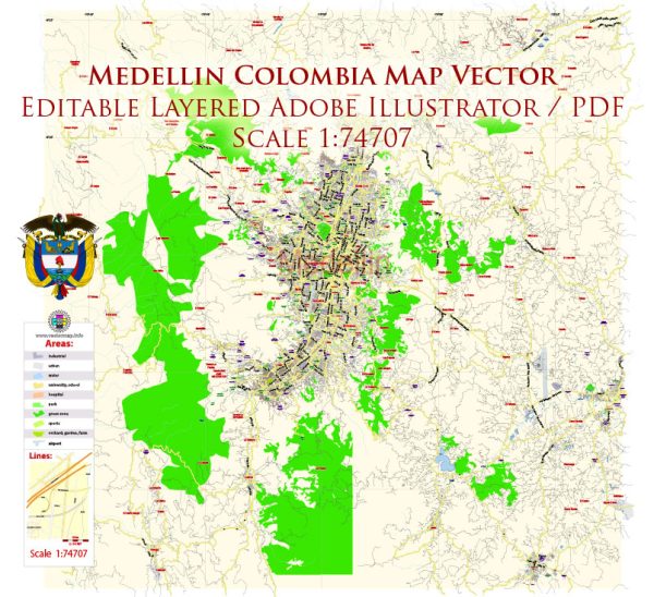
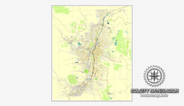
A general overview of the road and street infrastructure in Medellin, Colombia.
Vectormap.Net provide you with the most accurate and up-to-date vector maps in Adobe Illustrator, PDF and other formats, designed for editing and printing. Please read the vector map descriptions carefully.
Medellin, the second-largest city in Colombia, has a comprehensive road and street network that facilitates transportation within the city and connects it to the surrounding areas. Here are some key aspects of the road infrastructure in Medellin:
- Road Types:
- Highways and Expressways: Medellin is served by several highways and expressways that connect it to other cities and regions in Colombia. For example, the Autopista Regional connects Medellin with Bogota, the capital city.
- Arterial Roads: Within the city, there is a network of arterial roads that help in moving traffic efficiently through different neighborhoods and districts.
- Local Streets: Smaller streets and local roads provide access to residential areas, businesses, and various points of interest.
- Public Transportation:
- Metro System: Medellin boasts a modern and efficient metro system, including a combination of trains, cable cars, and buses. The metro system is an integral part of the city’s transportation network and helps alleviate traffic congestion.
- Buses: A comprehensive bus system complements the metro, covering both urban and suburban areas. The city has made efforts to improve the bus infrastructure to enhance public transportation services.
- Cycling Infrastructure:
- Medellin has been working on improving infrastructure for cyclists, including the implementation of bike lanes and cycling-friendly routes. This is part of the city’s broader efforts to promote sustainable and eco-friendly transportation options.
- Urban Planning:
- The city has undergone significant urban development in recent years, with a focus on improving public spaces and mobility. Initiatives include the development of parks, pedestrian areas, and the integration of transportation systems.
- Challenges:
- Traffic congestion can be a challenge, particularly during peak hours. The city has been addressing this issue through infrastructure projects and the promotion of public transportation.
- Ongoing Projects:
- There were ongoing infrastructure projects aimed at further improving transportation in Medellin. These could include road expansions, improvements to public transportation, and other initiatives to enhance mobility.
For the most up-to-date and detailed information on Medellin’s road and street infrastructure, it is recommended to consult local transportation authorities or recent urban development plans.


 Author: Kirill Shrayber, Ph.D. FRGS