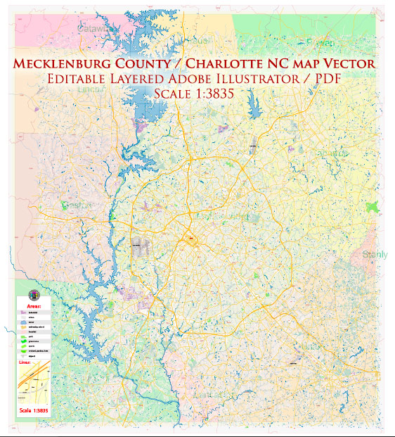
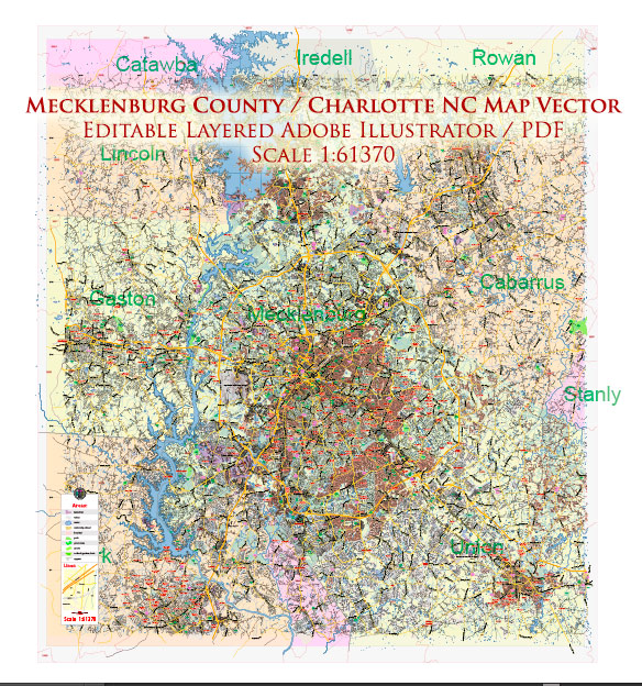
A general overview of the roads and streets infrastructure in Mecklenburg County and Charlotte, North Carolina.
Vectormap.Net provide you with the most accurate and up-to-date vector maps in Adobe Illustrator, PDF and other formats, designed for editing and printing. Please read the vector map descriptions carefully.
- Interstate Highways:
- I-77: Runs north-south through the western part of Mecklenburg County.
- I-85: Passes through the northeastern part of Mecklenburg County.
- I-485: Forms a beltway around Charlotte, connecting various suburbs and neighborhoods.
- U.S. Highways:
- Several U.S. highways serve the area, including US-74, US-29, and US-521.
- State Highways:
- NC-16: Runs north-south through the western part of Mecklenburg County.
- NC-27: Passes through the northern part of the county.
- Major Arterial Roads:
- Independence Boulevard (US-74): A major east-west corridor connecting Charlotte to its eastern suburbs.
- Wilkinson Boulevard (US-29/US-74): An important route connecting west Charlotte to Gastonia.
- Providence Road (NC-16): A significant north-south artery in the eastern part of the county.
- South Boulevard: Connects southern neighborhoods and suburbs.
- City Streets:
- Charlotte has a grid-based street system in its uptown (downtown) area, with streets named numerically and alphabetically.
- Key streets in the uptown area include Tryon Street, Trade Street, and College Street.
- Light Rail and Public Transit:
- The LYNX Blue Line is a light rail system connecting the southern part of Mecklenburg County to uptown Charlotte.
- Bike Lanes and Greenways:
- The city has been working on expanding its bike lane network and greenways to promote alternative transportation.
- Infrastructure Projects:
- As of my last update, several infrastructure projects, including road widening and improvements, were underway to address the growing population and traffic demands.
- Toll Roads:
- The Charlotte area has some toll roads, including portions of I-77 and I-485.
- Traffic Management:
- The North Carolina Department of Transportation (NCDOT) and the Charlotte Department of Transportation (CDOT) play crucial roles in managing and maintaining the road infrastructure.
It’s important to check with local authorities or consult recent sources for the latest information on road conditions, ongoing projects, and any changes to the transportation infrastructure in Mecklenburg County and Charlotte.


 Author: Kirill Shrayber, Ph.D. FRGS