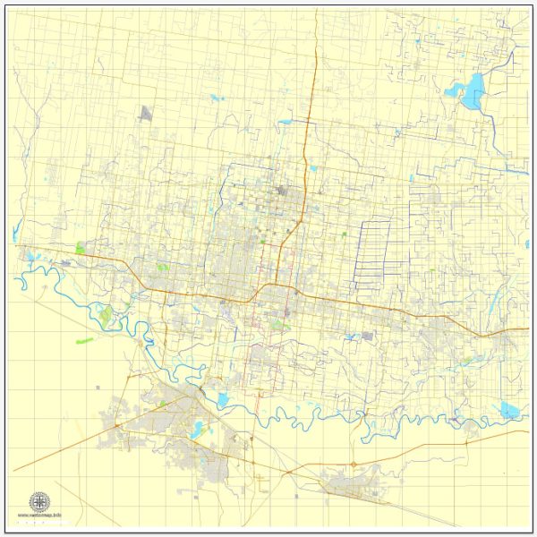
McAllen, Texas, is a city with a well-planned road network. Some of the principal streets and roads in McAllen include:
- 10th Street (Business 83):
- Business 83, also known as 10th Street, is a major east-west artery running through the heart of McAllen.
- It is a commercial corridor with shopping centers, restaurants, and various businesses.
- Expressway 83 (I-2):
- Running east-west, Interstate 2 (I-2) is a significant highway passing through McAllen.
- It facilitates transportation across the Rio Grande Valley, connecting McAllen with other cities and the Texas-Mexico border.
- 23rd Street:
- This street is a notable north-south thoroughfare in McAllen.
- It intersects with Business 83 and provides access to various neighborhoods, schools, and commercial areas.
- Nolana Avenue:
- Nolana Avenue is another major east-west road in McAllen.
- It runs parallel to Business 83 and is lined with businesses, shopping centers, and medical facilities.
- McColl Road:
- McColl Road is a north-south road that intersects with Nolana Avenue and other major streets.
- It provides access to residential areas, schools, and shopping centers.
- Bicentennial Boulevard:
- Bicentennial Boulevard is a newer thoroughfare that runs north-south and connects various parts of the city.
- It features commercial developments, parks, and access to the McAllen International Airport.
- Ware Road:
- Ware Road is a north-south road on the western side of McAllen.
- It connects with Expressway 83 and provides access to residential neighborhoods and commercial areas.
- Main Street:
- Main Street is part of the historic downtown area and runs east-west.
- It features a mix of historic buildings, shops, restaurants, and cultural venues.
- 2nd Street:
- 2nd Street is another downtown street that intersects with Main Street.
- It is home to various businesses and contributes to the historic charm of the downtown area.
- Pecan Boulevard:
- Pecan Boulevard runs east-west and intersects with Expressway 83.
- It is a significant commercial and residential corridor.
These streets and roads contribute to the overall accessibility and connectivity of McAllen, serving as essential routes for residents, businesses, and visitors. The road network is designed to facilitate efficient transportation within the city and the broader Rio Grande Valley region.
Vectormap.Net provide you with the most accurate and up-to-date vector maps in Adobe Illustrator, PDF and other formats, designed for editing and printing. Please read the vector map descriptions carefully.


 Author: Kirill Shrayber, Ph.D. FRGS