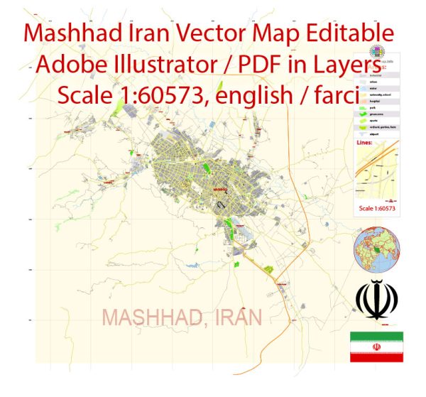
Mashhad, as a large and dynamic city, is divided into various districts, communities, and neighborhoods, each with its unique character, features, and attractions.
Vectormap.Net provide you with the most accurate and up-to-date vector maps in Adobe Illustrator, PDF and other formats, designed for editing and printing. Please read the vector map descriptions carefully.
Here is a general overview of some of the notable districts, communities, and main streets in Mashhad:
Districts:
- Touhid District:
- Touhid is one of the central districts in Mashhad, housing important landmarks such as the Imam Reza Holy Shrine and Goharshad Mosque. It’s a hub for religious activities and pilgrimage.
- Qods District:
- Located to the southwest of the city center, Qods District is known for its residential areas, educational institutions, and parks. It offers a mix of residential and commercial spaces.
- Azadi District:
- Azadi District is known for its cultural and recreational facilities. The Khorasan Great Museum (Reza Abbasi Museum) is located in this district, showcasing the region’s historical artifacts.
- Sajjad District:
- Sajjad District is known for its historical significance, housing the tomb of Nader Shah Afshar, a military leader and ruler in the 18th century.
- Tus District:
- Tus, although technically a separate city, is often considered a part of Greater Mashhad. It is known for historical sites like the Tomb of Ferdowsi, honoring the Persian poet.
Communities and Neighborhoods:
- Golbahar:
- Golbahar is a residential neighborhood known for its parks and green spaces. It provides a quieter atmosphere compared to the bustling city center.
- Shandiz:
- Shandiz is both a district and a popular residential area known for its scenic beauty. It serves as a retreat with cooler temperatures and attracts visitors for its natural landscapes.
- Koocheh Bagh-e Raz:
- This neighborhood is known for its historical charm, with narrow streets, traditional houses, and a sense of cultural heritage.
Main Streets:
- Shariati Street:
- Shariati Street is one of the main thoroughfares in Mashhad, hosting various shops, restaurants, and commercial establishments. It’s a bustling street that reflects the city’s urban life.
- Imam Reza Street:
- This street runs in the vicinity of the Imam Reza Holy Shrine and is lined with shops catering to pilgrims and visitors. It’s a vibrant area with religious and commercial significance.
- Sohrevardi Street:
- Sohrevardi Street is known for its commercial activities, with a mix of shops, cafes, and businesses. It’s a lively area with a diverse range of offerings.
- Sarak-e Azadi (Azadi Street):
- Azadi Street is a major road connecting different parts of the city. It passes through the Azadi District and is significant for both residential and commercial purposes.
- Khorasan Square:
- Khorasan Square is a central location in Mashhad, serving as a transportation hub and a meeting point for locals and visitors. It connects to various streets and districts in the city.
Mashhad’s diverse neighborhoods and streets offer a mix of cultural, religious, and commercial experiences, making it a city with a rich tapestry of urban life.


 Author: Kirill Shrayber, Ph.D. FRGS