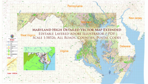
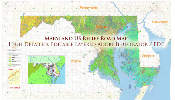
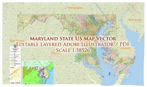
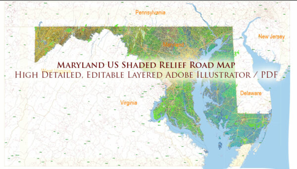
Maryland, located on the east coast of the United States, has a rich maritime history and is home to numerous ports, harbors, and marinas.
Vectormap.Net provide you with the most accurate and up-to-date vector maps in Adobe Illustrator, PDF and other formats, designed for editing and printing. Please read the vector map descriptions carefully.
Here is a detailed overview of some key maritime locations in the state:
- Baltimore Harbor:
- Location: Baltimore, Maryland
- Description: Baltimore Harbor, also known as the Inner Harbor, is a major seaport and the heart of maritime activity in Maryland. It has been a crucial port since the 18th century and played a significant role in the development of the city. Today, it’s a bustling area with attractions like the National Aquarium, the Maryland Science Center, and various shops and restaurants.
- Port of Baltimore:
- Location: Baltimore, Maryland
- Description: The Port of Baltimore is one of the busiest seaports in the United States. It consists of several terminals, including the Seagirt Marine Terminal, Dundalk Marine Terminal, and North Locust Point Marine Terminal. The port handles a wide range of cargo, including containers, automobiles, and bulk commodities. It has a strategic location, making it a key hub for international trade.
- Annapolis Harbor:
- Location: Annapolis, Maryland
- Description: Annapolis, the capital of Maryland, has a charming harbor known for its historical significance and scenic beauty. The Annapolis Harbor is situated on the Chesapeake Bay and is surrounded by historic buildings, maritime museums, and waterfront parks. It serves as a popular destination for recreational boating and sailing.
- Solomons Island:
- Location: Solomons, Maryland
- Description: Solomons Island is located at the southern tip of Calvert County, where the Patuxent River meets the Chesapeake Bay. It’s a popular boating destination with a variety of marinas, boat slips, and waterfront restaurants. The Calvert Marine Museum on the island showcases the region’s maritime history and ecology.
- Ocean City Inlet:
- Location: Ocean City, Maryland
- Description: Ocean City Inlet is situated along the Atlantic Ocean, and it serves as the entry point to the Assawoman Bay. The inlet is a popular spot for recreational boating, fishing, and water sports. Ocean City has several marinas and boat ramps catering to both locals and tourists.
- Cambridge Harbor:
- Location: Cambridge, Maryland
- Description: Cambridge Harbor is located on the Choptank River and provides access to the Chesapeake Bay. The city has a maritime heritage, and the harbor is home to several marinas and boatyards. Cambridge is known for its waterfront festivals and events, celebrating the area’s seafood and boating traditions.
- Havre de Grace Marina:
- Location: Havre de Grace, Maryland
- Description: Positioned at the head of the Chesapeake Bay, Havre de Grace has a scenic marina that attracts boaters and visitors. The city is known for its historic lighthouse, waterfront parks, and maritime museums. The marina is a central point for exploring the upper Chesapeake Bay region.
These are just a few examples of the many ports, harbors, and marinas in Maryland. The state’s extensive waterfront, including the Chesapeake Bay and its tributaries, provides a diverse and vibrant maritime environment.


 Author: Kirill Shrayber, Ph.D. FRGS