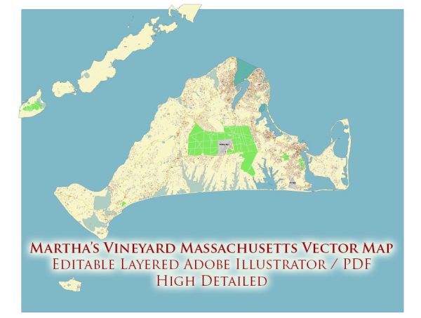
Vectormap.Net provide you with the most accurate and up-to-date vector maps in Adobe Illustrator, PDF and other formats, designed for editing and printing. Please read the vector map descriptions carefully.
Economic Overview of Martha’s Vineyard:
Martha’s Vineyard’s economy is largely driven by tourism, with the island being a popular destination for summer vacationers. The tourism industry encompasses various sectors, including hospitality, restaurants, retail, and recreational activities. The island’s natural beauty, historic sites, and cultural events contribute significantly to its appeal.
In addition to tourism, Martha’s Vineyard has a robust real estate market, with many seasonal and year-round residents. The real estate industry plays a crucial role in the island’s economy, and property values can be relatively high.
Fishing and agriculture also contribute to the local economy. Vineyarders engage in shellfishing, small-scale farming, and other related activities. The island’s commitment to preserving its natural beauty has led to the creation of various conservation efforts, adding to the economic diversity.
While Martha’s Vineyard does have a year-round population, there are distinct seasonal fluctuations due to the influx of tourists during the summer months. This seasonality impacts the labor market and business operations.
Transportation on Martha’s Vineyard:
- Ferries: Martha’s Vineyard is accessible by ferry, and there are several ferry terminals on the mainland, including in Woods Hole, Falmouth, and Hyannis. The primary ferry routes connect to the three main towns on the island: Vineyard Haven, Oak Bluffs, and Edgartown.
- Air Travel: The Martha’s Vineyard Airport (MVY) provides air transportation to the island. It has regular flights from Boston Logan International Airport and other regional airports. The airport is located near the town of Edgartown.
- Bicycles and Mopeds: Many residents and visitors use bicycles and mopeds to get around the island. Martha’s Vineyard has bike paths that connect different towns, offering a scenic and environmentally friendly way to explore.
- Taxis and Ride-Sharing: Taxis and ride-sharing services are available on the island, providing convenient transportation for residents and tourists.
- Car Rentals: While not as popular as other modes of transportation, car rentals are available on Martha’s Vineyard. Some visitors prefer having a car, especially if they plan to explore more remote areas of the island.
- Public Transportation: Martha’s Vineyard Regional Transit Authority (VTA) operates a bus system that serves the island, providing an affordable and accessible way to move between towns.
- Walking: Many areas in the towns are pedestrian-friendly, and walking is a common mode of transportation, especially in the downtown areas where shops, restaurants, and attractions are located.
It’s important to note that Martha’s Vineyard has a limited road network, and some areas are best explored on foot, by bicycle, or with alternative transportation methods. The island’s transportation infrastructure is designed to preserve its natural beauty and maintain a relaxed, unhurried atmosphere.


 Author: Kirill Shrayber, Ph.D. FRGS