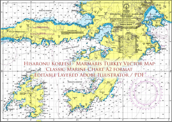
Map — Marmaris Area Turkey Marine Vector Map High Detailed Editable Layered Adobe Illustrator
A production‑ready map of Marmaris Area Turkey Marine Vector Map High Detailed Editable Layered Adobe Illustrator built for clear labeling and predictable output across sizes. Contours and landuse layers can be toggled to match tourism or planning use cases. Typography spacing is tuned for quick reading on posters, brochures and reports. Named layers let you restyle colors, line weights and label classes without cleanup passes. District and neighborhood labels are arranged to avoid collisions around dense cores. Bridges, tunnels and ferry lines are isolated so routes remain legible after recolor.Ideal for signage, event maps, campus leaflets and waterfront brochures. Use it for visitor guides, city infographics, investment decks and municipal communications. Export presets help maintain crisp strokes on both coated and uncoated paper. Editors can brand the palette and icons, then export sharp…


 Author: Kirill Shrayber, Ph.D. FRGS