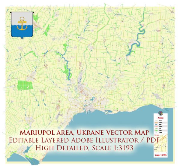
Some specific details on the transportation and port infrastructure in Mariupol, Ukraine. Infrastructure details can change over time due to various factors, including development projects and geopolitical events.
Vectormap.Net provide you with the most accurate and up-to-date vector maps in Adobe Illustrator, PDF and other formats, designed for editing and printing. Please read the vector map descriptions carefully.
A general information about the transportation and port infrastructure of a city:
- Port Facilities:
- Mariupol is a significant port city on the Sea of Azov, and its port plays a crucial role in facilitating maritime trade.
- Ports typically have facilities for loading and unloading cargo, storage areas, and administrative offices.
- The port’s capacity and capabilities depend on its size, equipment, and the types of cargo it handles, such as bulk commodities, containerized goods, or liquid bulk.
- Transportation Networks:
- Roads: Mariupol likely has an extensive road network connecting the city to major highways and facilitating the transport of goods to and from the port.
- Railways: Rail transportation is crucial for moving bulk goods and connecting Mariupol to the broader rail network in Ukraine.
- Airports: Mariupol may have an airport, though its significance for cargo transport might be lower compared to the city’s maritime and rail infrastructure.
- Logistics and Warehousing:
- Warehousing facilities are essential for storing and managing goods before or after transportation.
- Efficient logistics services contribute to the smooth movement of goods through the transportation network.
- Customs and Administrative Services:
- Customs offices and administrative services are necessary for managing the legal aspects of international trade, including import/export documentation and compliance with regulations.
- Technological Integration:
- Modern ports often incorporate advanced technologies for efficient cargo handling, tracking, and security.
Remember that the above points provide a general framework, and the specific details of Mariupol’s infrastructure would require the most recent and accurate information from local authorities, port authorities, or reliable news sources. Additionally, the geopolitical situation can impact the accessibility and functionality of transportation infrastructure, so it’s essential to consider current events.


 Author: Kirill Shrayber, Ph.D. FRGS