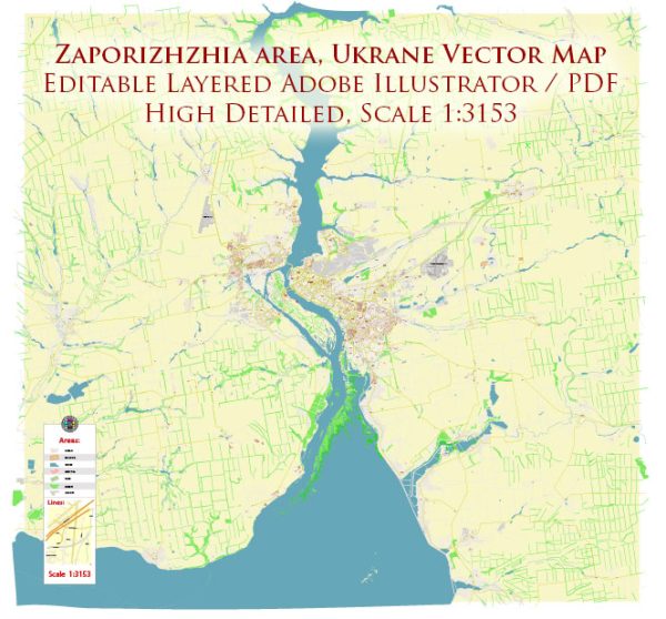
A general overview of the history and some information about the main streets of Zaporizhzhia, Ukraine.
Vectormap.Net provide you with the most accurate and up-to-date vector maps in Adobe Illustrator, PDF and other formats, designed for editing and printing. Please read the vector map descriptions carefully.
History of Zaporizhzhia:
1. Ancient and Medieval Periods: Zaporizhzhia’s history dates back to ancient times, with evidence of human settlements in the region from the Paleolithic era. The area played a crucial role in the medieval history of Kievan Rus. It was a strategic location due to its proximity to the Dnieper River and its role as a crossing point.
2. Cossack Era: In the 16th and 17th centuries, the region became a significant center for the Cossacks. The famous Zaporizhian Sich, a semi-autonomous Cossack republic, was established on the islands of the Dnieper River. The Cossacks played a vital role in defending the region against various invaders.
3. Industrialization: The 19th century marked the beginning of industrialization in the area. The construction of the Dnieper Hydroelectric Station in the early 20th century further boosted industrial development and turned Zaporizhzhia into an important industrial hub.
4. World War II: Zaporizhzhia, like many other Ukrainian cities, suffered greatly during World War II. The city was occupied by German forces, leading to significant destruction and loss of life.
5. Post-Soviet Era: After the collapse of the Soviet Union in 1991, Zaporizhzhia, like many other Ukrainian cities, underwent significant economic and social changes.
Main Streets of Zaporizhzhia:
1. Sobornyi Avenue: Sobornyi Avenue is one of the central streets in Zaporizhzhia. It is known for its shops, restaurants, and cultural institutions. The avenue often hosts events and parades.
2. Lenin Street: Lenin Street is another central thoroughfare, named after Vladimir Lenin. It features a mix of residential buildings, shops, and businesses.
3. Mayakovskogo Street: This street is named after the famous Russian poet Vladimir Mayakovsky. It is known for its cultural significance and often hosts various events and festivals.
4. Zavodska Street: Zavodska Street is linked to the industrial history of the city. It is home to many industrial enterprises and factories.
5. Dniprovska Naberezhna: The Dniprovska Embankment runs along the Dnieper River, offering scenic views. It is a popular destination for walks and recreational activities.
Keep in mind that the names and significance of streets may change over time, and new developments can occur. To get the most up-to-date information, it’s recommended to consult local sources or recent guides about Zaporizhzhia.


 Author: Kirill Shrayber, Ph.D. FRGS