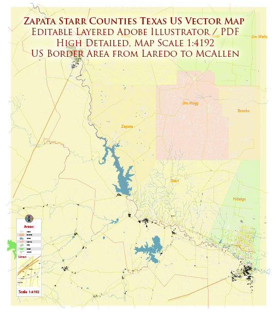
Zapata and Starr counties in Texas are known for their natural beauty and outdoor recreational opportunities, particularly along the Rio Grande.
Vectormap.Net provide you with the most accurate and up-to-date vector maps in Adobe Illustrator, PDF and other formats, designed for editing and printing. Please read the vector map descriptions carefully.
Here are some notable areas and attractions related to nature parks, natural reserves, and tourism in these counties:
Zapata County:
- Falcon State Park: Located along the Rio Grande, Falcon State Park is a popular destination for outdoor enthusiasts. The park offers a variety of recreational activities, including fishing, boating, camping, and birdwatching. Falcon Lake, formed by the Falcon Dam, is known for its abundant wildlife and is a favorite spot for anglers.
Starr County:
- Salineño Wildlife Preserve: This preserve is a renowned birdwatching destination located near Rio Grande City. It is recognized for its diverse bird species, making it a favorite spot for bird enthusiasts and nature lovers. The preserve is operated by the Valley Land Fund.
- Roma Bluffs World Birding Center: Situated in Roma, this birding center provides a unique opportunity to observe a variety of bird species in a natural setting. The Roma Bluffs offer scenic views of the Rio Grande and provide a habitat for both resident and migratory birds.
- Los Ebanos Preserve: This preserve, located near Los Ebanos, features native vegetation and provides a habitat for wildlife. It’s a serene location for nature walks and observing the local flora and fauna.
Tourism:
- Historic Sites in Roma: Roma, in Starr County, has a rich history reflected in its architecture and landmarks. Visitors can explore historic sites, such as the Roma Historic District, which is listed on the National Register of Historic Places.
- Fishing and Water Recreation: With Falcon Lake in Zapata County, and other water bodies in the region, fishing and water sports are popular activities. The area attracts anglers seeking to catch various species of fish.
- Cultural Events and Festivals: Both counties may host cultural events and festivals celebrating the local heritage, providing visitors with an opportunity to experience the traditions, cuisine, and arts of the region.
Please note that developments may have occurred since my last update, and it’s advisable to check with local tourism offices or relevant authorities for the most current information on parks, reserves, and tourism opportunities in Zapata and Starr counties.


 Author: Kirill Shrayber, Ph.D. FRGS