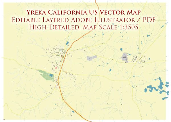
Yreka, California, a general overview based on available information.
Vectormap.Net provide you with the most accurate and up-to-date vector maps in Adobe Illustrator, PDF and other formats, designed for editing and printing. Please read the vector map descriptions carefully.
Yreka, California:
- Downtown Yreka:
- The downtown area typically serves as the central business district with a mix of historical and modern buildings.
- Miner Street is one of the main streets in downtown Yreka, known for its shops, restaurants, and historic architecture.
- Communities:
- Yreka is a small city, and its communities often revolve around residential areas. Neighborhoods may vary in character and size.
- Historic Districts:
- Yreka has preserved some of its historic architecture, and there may be designated historic districts with well-maintained buildings.
- Main Streets:
- Miner Street: This street is often considered the main thoroughfare in downtown Yreka, featuring various shops, eateries, and local businesses.
- Other main streets may include parts of Highway 3 and Highway 263, which pass through or near Yreka.
- Siskiyou County Fairgrounds:
- Located in Yreka, the fairgrounds host events and activities, including the annual Siskiyou County Fair.
- Natural Surroundings:
- Yreka is surrounded by picturesque landscapes, including the nearby Klamath National Forest and Shasta-Trinity National Forest.
- Yreka Historic District:
- Some parts of Yreka may be designated as historic districts, preserving the city’s heritage and showcasing architecture from different periods.
- Shops and Dining:
- Yreka’s downtown area offers a variety of shops, boutiques, and dining options. Local businesses and unique shops contribute to the community’s character.
For the most accurate and current information on Yreka’s districts, communities, and main streets, it’s recommended to check with local government sources, community organizations, or recent online resources. City planning offices and local chambers of commerce often provide detailed information about the layout and characteristics of different neighborhoods and business districts.


 Author: Kirill Shrayber, Ph.D. FRGS