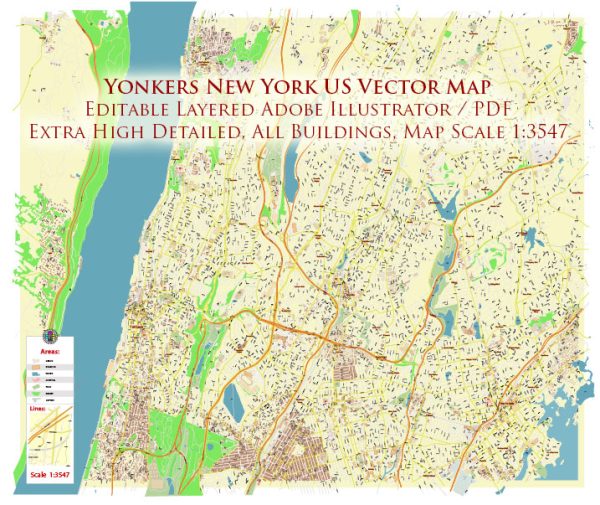
A general overview of the districts, communities, and main streets in Yonkers, New York. Yonkers is a city located in Westchester County, just north of New York City. It has a diverse population and a mix of residential, commercial, and industrial areas.
Vectormap.Net provide you with the most accurate and up-to-date vector maps in Adobe Illustrator, PDF and other formats, designed for editing and printing. Please read the vector map descriptions carefully.
- Downtown Yonkers:
- This area is the central business district of Yonkers. It includes Getty Square, which is a historic square and transportation hub. You’ll find government offices, businesses, and some residential buildings in this part of the city.
- Riverdale Avenue:
- Riverdale Avenue is a major thoroughfare in Yonkers that runs through various neighborhoods. It is known for its diverse range of shops, restaurants, and businesses.
- Getty Square:
- Getty Square is the historic center of Yonkers. It’s a bustling area with a mix of commercial and residential buildings. The Yonkers Metro-North train station is located nearby, providing convenient access to New York City.
- Nodine Hill:
- Nodine Hill is a residential neighborhood located in the southwestern part of Yonkers. It has a mix of housing types, including single-family homes and apartment buildings.
- Park Hill:
- Park Hill is a residential area with a variety of architectural styles, including Victorian and Tudor homes. It is known for its tree-lined streets and proximity to parks.
- Nepera Park:
- Nepera Park is a residential neighborhood characterized by its diverse housing options, including single-family homes and apartment buildings. It has parks and schools that contribute to its community feel.
- Dunwoodie:
- Dunwoodie is primarily a residential neighborhood with schools, parks, and recreational facilities. The Dunwoodie Golf Course is a notable feature of this area.
- Bronx River Road:
- Bronx River Road is another major roadway in Yonkers, lined with various businesses and residential areas. It runs along the Bronx River and connects different parts of the city.
It’s important to note that Yonkers is a city with a rich history and a diverse population, resulting in various neighborhoods and communities each with its own character and charm. The city also offers parks, schools, and cultural attractions that contribute to its vibrant community life. For the most up-to-date and detailed information, consider checking with local sources or the official website of the City of Yonkers.


 Author: Kirill Shrayber, Ph.D. FRGS