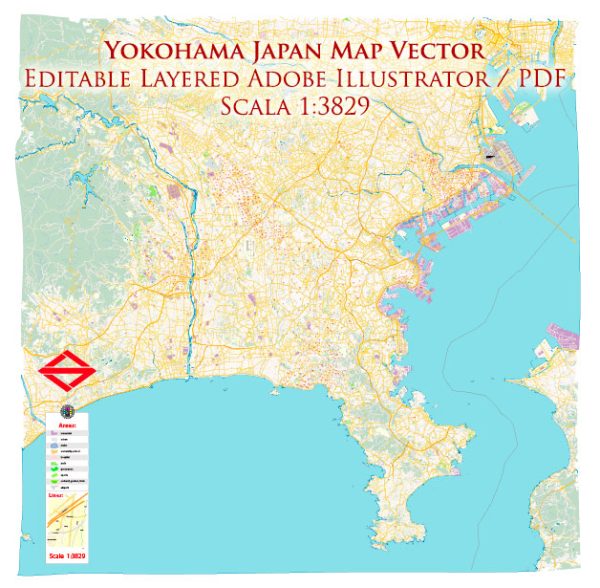
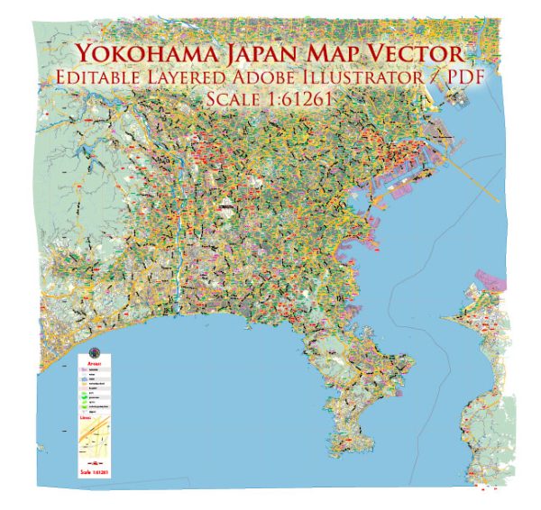
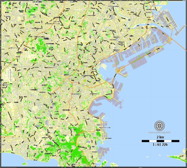
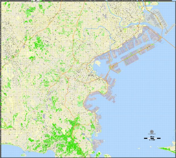
A general overview of Yokohama’s port, main streets, and roads.
Vectormap.Net provide you with the most accurate and up-to-date vector maps in Adobe Illustrator, PDF and other formats, designed for editing and printing. Please read the vector map descriptions carefully.
Yokohama Port:
Overview:
Yokohama Port is one of the largest and busiest seaports in Japan, situated on the western coast of Tokyo Bay. It serves as a major gateway for international trade and is known for its scenic waterfront. The port area has undergone significant development, transforming it into a vibrant commercial and recreational zone.
Facilities and Terminals:
- Osanbashi Pier: This is a popular pier and waterfront area with a modern passenger terminal. It serves as a cruise ship terminal and offers panoramic views of the bay.
- Shinko Pier: Another significant terminal area for cargo handling and industrial activities.
- Daikoku Pier: Known for its industrial facilities and container terminals.
Main Streets and Roads:
1. Yamashita Park Promenade:
- A scenic waterfront promenade offering views of the bay and access to landmarks like the Hikawa Maru ship museum.
2. Minato Mirai 21:
- This is a major urban development and business district with high-rise buildings, shopping centers, and entertainment complexes. Streets like Shinko and Sakuragicho are part of this area.
3. Motomachi Shopping Street:
- A historic shopping street featuring a mix of international and traditional Japanese stores. It is known for its European-style architecture.
4. Yokohama Chinatown:
- Famous for being one of the largest Chinatowns in the world. The main streets within Chinatown include Chukagai-dori and Yamashita-cho.
5. Isezakicho Shopping Street:
- A bustling shopping district with a variety of shops, restaurants, and entertainment options.
6. Yokohama Station Area:
- A major transportation hub with a busy train station, shopping malls (such as Landmark Plaza), and office buildings.
7. Yokohama Bay Bridge:
- An iconic bridge connecting the waterfront areas and providing stunning views of the port.
8. Shin-Yokohama:
- Home to the Nissan Stadium and Shin-Yokohama Ramen Museum. It’s a transportation hub with a Shinkansen station.
9. Yamate-dori:
- A well-known road in Yokohama, often associated with historic Western-style residences.
10. National Route 1 (Tokyo Bay Aqua-Line):
- A significant road connecting Yokohama to Tokyo and other parts of the country. The Tokyo Bay Aqua-Line includes tunnels and bridges, providing a scenic route.


 Author: Kirill Shrayber, Ph.D. FRGS