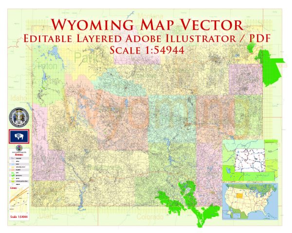
Wyoming, located in the western United States, is known for its stunning landscapes, including mountains, plains, and high deserts.
Vectormap.Net provide you with the most accurate and up-to-date vector maps in Adobe Illustrator, PDF and other formats, designed for editing and printing. Please read the vector map descriptions carefully.
Here’s a detailed description of some of the main cities, nature parks, water areas, and principal roads in Wyoming:
Main Cities:
- Cheyenne:
- As the capital and largest city in Wyoming, Cheyenne is situated in the southeastern part of the state.
- It is known for its rich Western history, as reflected in the annual Cheyenne Frontier Days, one of the largest outdoor rodeo and western celebrations in the world.
- Casper:
- Located in central Wyoming along the North Platte River, Casper is the second-largest city in the state.
- It serves as a regional economic and cultural hub and is known for its outdoor recreational opportunities.
- Laramie:
- Situated in the southeastern part of the state, Laramie is home to the University of Wyoming.
- The city is surrounded by mountains and is a gateway to outdoor activities, including hiking, skiing, and mountain biking.
- Jackson:
- Nestled in the Jackson Hole valley in the northwest, Jackson is a popular tourist destination surrounded by the Teton and Gros Ventre mountain ranges.
- The town is a gateway to Grand Teton National Park and Yellowstone National Park.
Nature Parks:
- Yellowstone National Park:
- Parts of Yellowstone, the first national park in the world, extend into northwestern Wyoming.
- It is famous for its geothermal features, including Old Faithful, as well as its diverse wildlife, such as grizzly bears, wolves, and herds of bison.
- Grand Teton National Park:
- Adjacent to Yellowstone, Grand Teton National Park is renowned for its stunning mountain scenery, including the iconic Teton Range.
- The park offers opportunities for hiking, mountaineering, and wildlife viewing.
- Devils Tower National Monument:
- Located in northeastern Wyoming, Devils Tower is a unique geological formation and a sacred site for several Native American tribes.
- Visitors can hike around the tower or participate in rock climbing.
Water Areas:
- Yellowstone Lake:
- Situated in Yellowstone National Park, Yellowstone Lake is the largest high-altitude lake in North America.
- It offers boating, fishing, and stunning views of the surrounding landscapes.
- Jackson Lake:
- Located in Grand Teton National Park, Jackson Lake is a large, natural lake with opportunities for water recreation, including boating and fishing.
- North Platte River:
- Flowing through central Wyoming, the North Platte River is popular for fly fishing and rafting.
Principal Roads:
- Interstate 25 (I-25):
- Running north-south, I-25 connects Cheyenne in the south to Buffalo and Sheridan in the north.
- Interstate 80 (I-80):
- Running east-west, I-80 traverses the southern part of the state, connecting Cheyenne to cities like Laramie and Rock Springs.
- US Route 191:
- Running north-south, US 191 is a scenic route passing through Jackson and providing access to Grand Teton and Yellowstone National Parks.
- US Route 287:
- Running north-south, US 287 passes through Laramie, providing access to Colorado in the south and Montana in the north.
Wyoming’s vast and varied landscapes make it a haven for outdoor enthusiasts and those seeking a taste of the American West.


 Author: Kirill Shrayber, Ph.D. FRGS