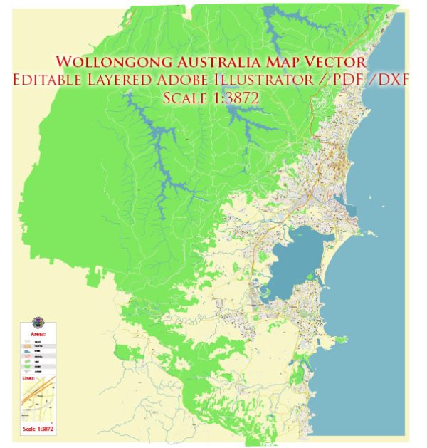
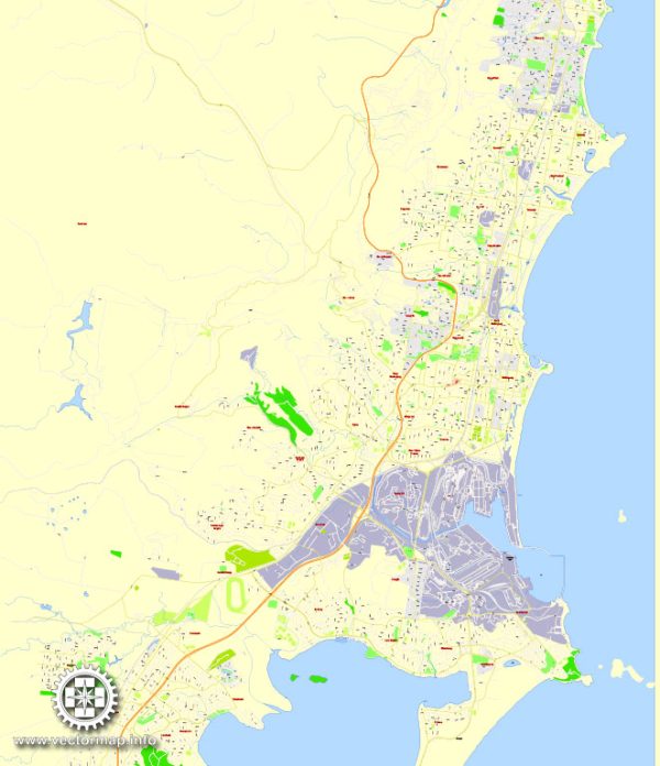
Wollongong is a city located in the Illawarra region of New South Wales, Australia.
Vectormap.Net provide you with the most accurate and up-to-date vector maps in Adobe Illustrator, PDF and other formats, designed for editing and printing. Please read the vector map descriptions carefully.
Wollongong is known for its coastal location, beautiful beaches, and vibrant community. Here is a general overview of some districts, communities, and main streets in Wollongong:
- Wollongong CBD (Central Business District):
- Crown Street: This is one of the main streets in the Wollongong CBD, hosting a variety of shops, restaurants, cafes, and businesses.
- Civic Plaza: Located in the heart of the CBD, Civic Plaza is a public space often used for events and gatherings.
- Wollongong Central: A major shopping center in the city, providing a range of retail options.
- North Wollongong:
- North Beach: A popular beach known for its scenic views and outdoor activities.
- Stuart Park: A large parkland area with walking paths, picnic spots, and a playground.
- North Wollongong Railway Station: Connecting the area to the broader Illawarra and Sydney regions.
- Wollongong West:
- University of Wollongong (UOW): A major institution with a large campus, contributing to the vibrant and diverse community in the west.
- Innovation Campus: A precinct near the UOW focused on research and innovation.
- East Wollongong:
- Wollongong Hospital: A major healthcare facility serving the community.
- Fairy Meadow: A suburb in the east with a mix of residential and commercial areas.
- Shellharbour:
- Shellharbour Village: A coastal suburb with a historic feel, offering shops, cafes, and a picturesque harbor.
- Shellharbour City Centre: A commercial area with shopping centers and services.
- Kiama:
- Kiama Blowhole: Located south of Wollongong, Kiama is known for its iconic blowhole, a natural rock formation where seawater is propelled into the air.
- Thirroul:
- Thirroul Beach: A coastal suburb known for its beach and the vibrant Thirroul Village, offering shops, cafes, and a community atmosphere.
It’s important to note that Wollongong and its surrounding areas consist of many other neighborhoods, each with its unique character and amenities. Changes and developments may have occurred since my last update, so it’s advisable to consult local sources for the most current information about Wollongong’s districts, communities, and main streets.


 Author: Kirill Shrayber, Ph.D.