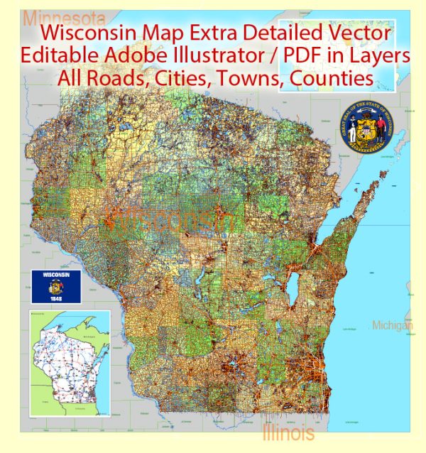
Wisconsin is a state located in the northern part of the United States, known for its diverse landscapes, vibrant cities, and outdoor recreational opportunities.
Vectormap.Net provide you with the most accurate and up-to-date vector maps in Adobe Illustrator, PDF and other formats, designed for editing and printing. Please read the vector map descriptions carefully.
Here’s a detailed description of some of the main cities, nature parks, and principal roads in Wisconsin:
Main Cities:
- Milwaukee:
- Located on the western shore of Lake Michigan, Milwaukee is the largest city in Wisconsin. It is known for its cultural attractions, breweries, and festivals, including Summerfest, one of the world’s largest music festivals.
- Madison:
- The state capital, Madison, is situated between Lakes Mendota and Monona. Home to the University of Wisconsin-Madison, it has a youthful and vibrant atmosphere. The Wisconsin State Capitol, a prominent landmark, is located here.
- Green Bay:
- Nestled on the western shore of Green Bay, this city is famous for its Green Bay Packers football team. Lambeau Field is an iconic stadium and a must-visit for football enthusiasts.
- Eau Claire:
- Situated in the western part of the state, Eau Claire is known for its music and arts scene. The city hosts various music festivals and cultural events throughout the year.
- La Crosse:
- Located along the Mississippi River, La Crosse is known for its scenic beauty and outdoor recreational activities. The city offers parks, trails, and water-based activities.
Nature Parks:
- Devil’s Lake State Park:
- Situated in Baraboo, Devil’s Lake State Park is known for its stunning rock formations, hiking trails, and water activities. It’s a popular destination for camping and outdoor enthusiasts.
- Door County:
- Known for its picturesque landscapes, Door County is a peninsula surrounded by Lake Michigan. It offers state parks, lighthouses, and charming small towns with art galleries and shops.
- Apostle Islands National Lakeshore:
- Located on Lake Superior, the Apostle Islands offer sea caves, pristine beaches, and historic lighthouses. The area is popular for kayaking and exploring the unique rock formations.
- Kettle Moraine State Forest:
- This state forest is divided into northern and southern units, offering a mix of rolling hills, lakes, and hiking trails. It’s a great destination for camping, hiking, and wildlife observation.
Principal Roads:
- Interstate 94 (I-94):
- Running from the Illinois state line to the Minnesota state line, I-94 connects major cities like Milwaukee and Madison. It is a crucial east-west route in Wisconsin.
- Interstate 90 (I-90):
- Passing through the southern part of the state, I-90 connects Wisconsin with Illinois to the south and Minnesota to the west.
- Interstate 39 (I-39):
- Running north-south through central Wisconsin, I-39 connects the state with Illinois to the south and intersects with I-90.
- U.S. Route 41 (US 41):
- This major north-south highway runs through eastern Wisconsin, connecting cities like Green Bay, Appleton, and Oshkosh.
- U.S. Route 53 (US 53):
- Running north-south through the western part of the state, US 53 connects cities like Eau Claire and Superior.
These descriptions provide just a glimpse of the diverse and vibrant features that Wisconsin has to offer, both in terms of its urban centers and its natural beauty.


 Author: Kirill Shrayber, Ph.D. FRGS