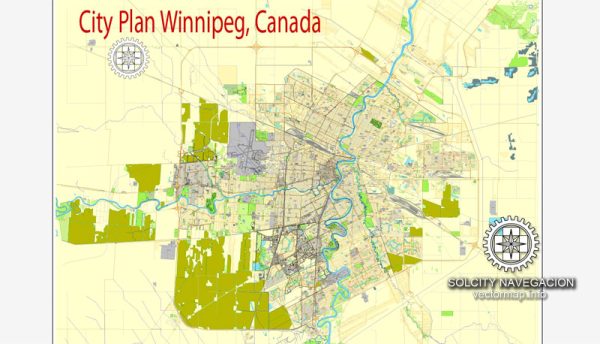
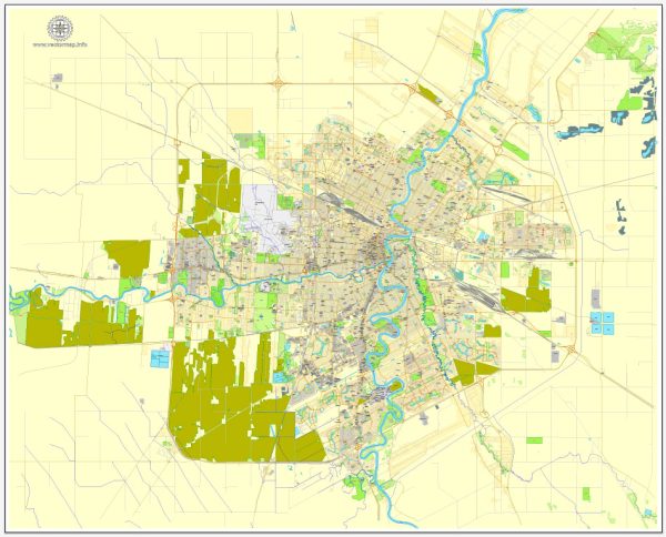
Winnipeg, the capital city of the province of Manitoba in Canada, is known for its diverse neighborhoods, historical sites, and cultural attractions.
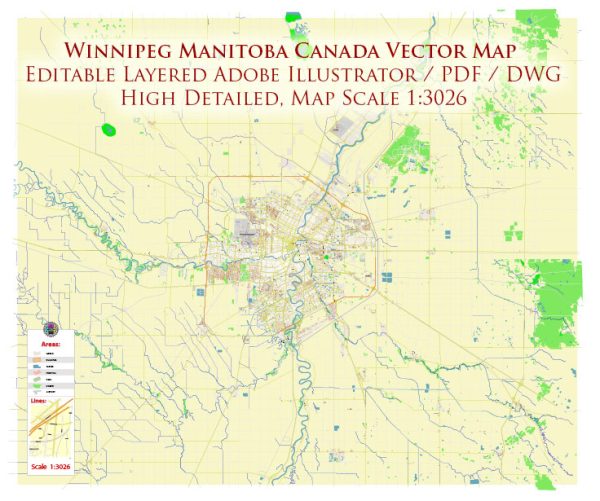
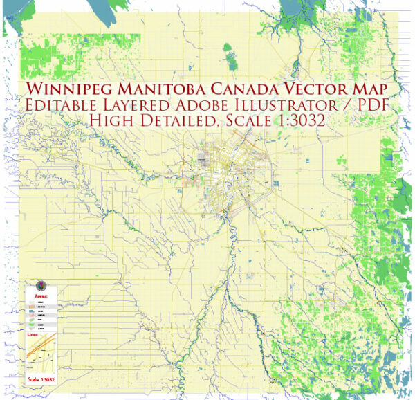
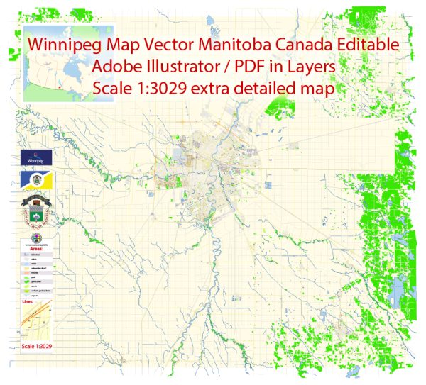
Vectormap.Net provide you with the most accurate and up-to-date vector maps in Adobe Illustrator, PDF and other formats, designed for editing and printing. Please read the vector map descriptions carefully.
A general overview of some of the districts, communities, and main streets.
- Downtown Winnipeg:
- Portage and Main: Often considered the heart of downtown, Portage and Main is a major intersection and commercial hub. It’s known for its tall office buildings and is a central point for the city’s business and financial activities.
- The Exchange District: This historic neighborhood is characterized by its well-preserved, turn-of-the-century architecture. It’s home to art galleries, theaters, and unique shops, making it a cultural and artistic hub.
- Osborne Village:
- A trendy and eclectic area located south of downtown, Osborne Village is known for its bohemian atmosphere, independent shops, and a variety of restaurants and pubs. It’s a popular spot for young professionals and artists.
- St. Boniface:
- Situated on the eastern side of the Red River, St. Boniface is known for its French heritage and is often referred to as the “French Quarter.” The area has historic sites such as the St. Boniface Cathedral and the Saint-Boniface Museum.
- West End:
- A culturally diverse neighborhood, the West End is home to a mix of residential and commercial areas. It has a rich multicultural atmosphere, with various ethnic communities contributing to the neighborhood’s character.
- Transcona:
- Located in the eastern part of the city, Transcona has a more suburban feel. It’s known for its rail history, and the Transcona Historical Museum showcases the area’s railway heritage.
- Fort Garry:
- Home to the University of Manitoba, Fort Garry is a residential area with a mix of students, families, and professionals. The university campus is a significant part of the community.
- Corydon Avenue:
- A popular street running through the neighborhoods of Crescentwood and River Heights, Corydon Avenue is known for its vibrant atmosphere, diverse restaurants, cafes, and shops. It’s often bustling with activity, especially in the evenings.
- Main Street:
- Running through the heart of the city, Main Street is a major north-south thoroughfare with a mix of residential and commercial areas. It’s home to various shops, restaurants, and services.
Remember that Winnipeg is constantly evolving, and new developments may alter the city’s landscape. Exploring the different districts and communities will give you a better sense of the city’s rich history and cultural diversity.

 Author: Kirill Shrayber, Ph.D. FRGS