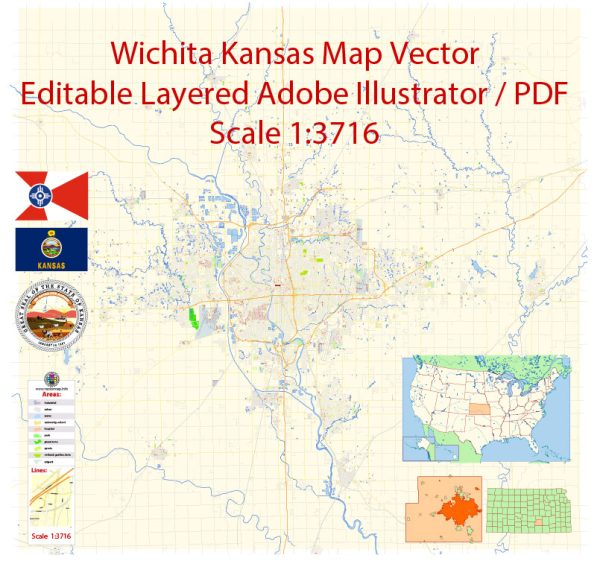
Wichita, Kansas, is the largest city in the state and a significant cultural and economic hub. The city is divided into several districts and neighborhoods, each with its own unique character.
Vectormap.Net provide you with the most accurate and up-to-date vector maps in Adobe Illustrator, PDF and other formats, designed for editing and printing. Please read the vector map descriptions carefully.
Here is a general overview of some of the key districts, communities, and main streets in Wichita:
- Downtown Wichita:
- Main Street: Downtown Wichita is the heart of the city, and Main Street runs through its center. This area is home to numerous businesses, restaurants, and cultural attractions. The historic Old Town district, located just east of Downtown, is known for its red-brick streets, nightlife, and entertainment options.
- Delano District:
- Douglas Avenue: West of Downtown, the Delano District is a historic neighborhood with a blend of trendy shops, unique restaurants, and historic architecture. Douglas Avenue is one of the main thoroughfares in this district, offering a variety of businesses and attractions.
- College Hill:
- Douglas Avenue and Oliver Street: College Hill is a residential neighborhood known for its charming historic homes and tree-lined streets. Douglas Avenue and Oliver Street are two of the main roads that traverse this area, featuring local shops, cafes, and parks.
- Riverside:
- Central Avenue: Located along the Arkansas River, Riverside is a residential neighborhood with parks, trails, and scenic views. Central Avenue runs through this area and is lined with local businesses and eateries.
- Eastborough:
- Woodlawn Boulevard: Eastborough is an affluent residential community with upscale homes and a suburban atmosphere. Woodlawn Boulevard is a key street in this neighborhood, connecting residents to amenities and services.
- Rock Road Corridor:
- Rock Road: This area, particularly along Rock Road, is known for its shopping centers, malls, and commercial developments. It’s a major retail hub in Wichita, offering a variety of stores and dining options.
- The Waterfront:
- Bradley Fair Parkway: The Waterfront is a mixed-use development located along the east bank of the Arkansas River. Bradley Fair Parkway is a prominent street within this area, featuring upscale shopping, dining, and entertainment options.
- Towne East Square Area:
- Kellogg Avenue: Towne East Square is a major shopping mall in Wichita, and the surrounding area along Kellogg Avenue is home to various retail outlets, restaurants, and hotels.
These descriptions provide a broad overview of Wichita’s districts and neighborhoods. Keep in mind that the city’s landscape and development may change over time, so it’s a good idea to check for the latest information and updates from local sources.


 Author: Kirill Shrayber, Ph.D. FRGS