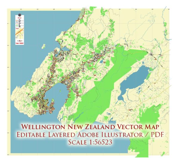
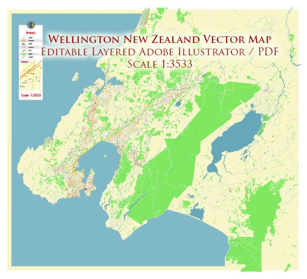
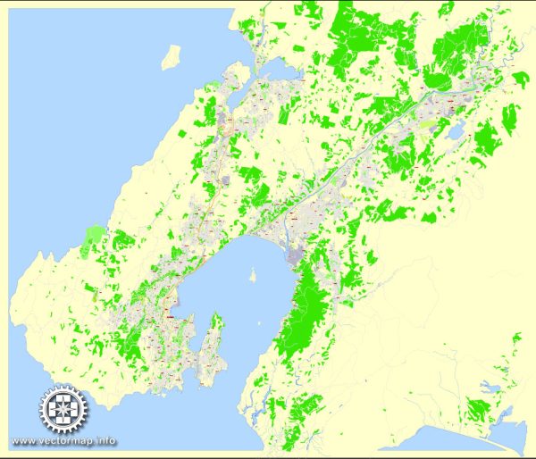
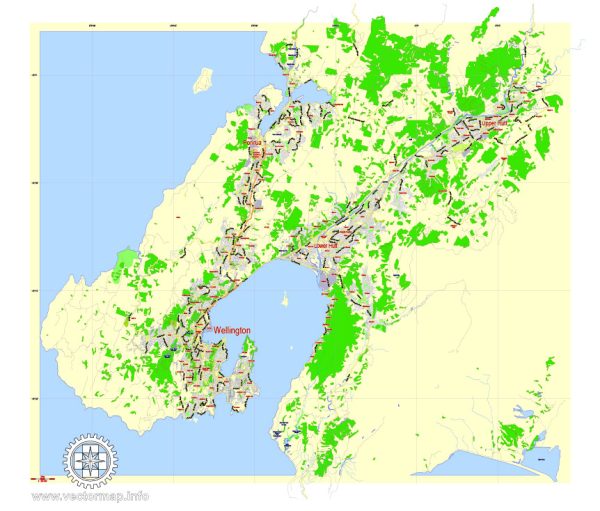
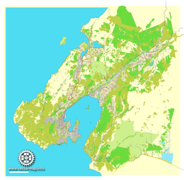
A general overview of the port, canals, main streets, and roads in Wellington, New Zealand.
Vectormap.Net provide you with the most accurate and up-to-date vector maps in Adobe Illustrator, PDF and other formats, designed for editing and printing. Please read the vector map descriptions carefully.
Port of Wellington: Wellington is known for its strategic harbor, and the Port of Wellington is a significant transportation hub. The port handles a range of cargo, including containers, bulk goods, and ferries connecting the North and South Islands. The port area also has facilities for cruise ships.
Canals: Wellington is not particularly known for extensive canal systems. The city is situated on a rugged coastline, and its topography does not lend itself to extensive canal networks. However, the natural harbor is crucial for maritime activities.
Main Streets and Roads:
- Lambton Quay: Lambton Quay is one of Wellington’s main shopping streets, located in the central business district (CBD). It features a variety of retail stores, cafes, and restaurants.
- Willis Street: Parallel to Lambton Quay, Willis Street is another major commercial thoroughfare with shops, businesses, and eateries.
- Courtenay Place: Known for its nightlife, Courtenay Place is a vibrant street with numerous bars, clubs, and restaurants. It’s a popular destination for entertainment.
- Cuba Street: This is a bohemian and eclectic area with a diverse range of shops, boutiques, and cafes. It’s known for its artistic and alternative atmosphere.
- State Highway 1 (SH1): This is the main highway that runs through Wellington, connecting the city to other parts of the North Island and the South Island via the Interislander ferry.
- Aotea Quay: Aotea Quay is a key road along the waterfront, providing access to the port and offering scenic views of Wellington Harbor.
- Victoria Street: Another significant street in the CBD, Victoria Street is home to various businesses, shops, and dining establishments.
Remember that Wellington’s urban layout is characterized by hills and a compact city center. The streets and roads can be steep in some areas. Additionally, Wellington is known for its scenic beauty, and many streets offer stunning views of the harbor and surrounding hills. If you need the most current and detailed information, it’s recommended to check with local sources or maps.

 Author: Kirill Shrayber, Ph.D. FRGS