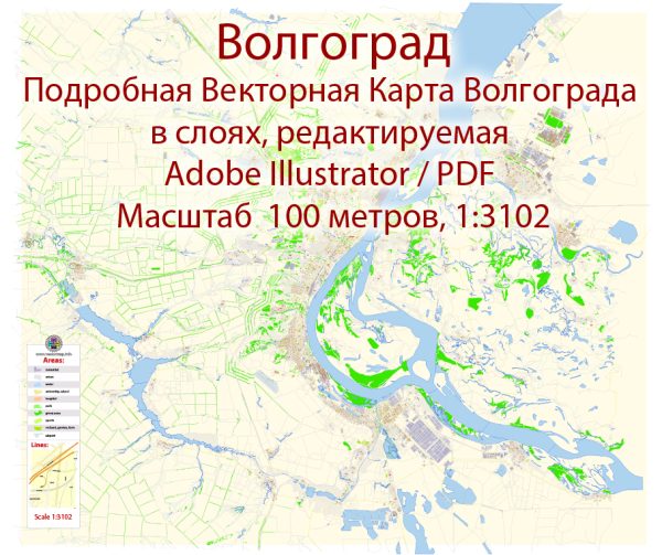
A general overview of Volgograd, Russia, including its districts, communities, and main streets.
Vectormap.Net provide you with the most accurate and up-to-date vector maps in Adobe Illustrator, PDF and other formats, designed for editing and printing. Please read the vector map descriptions carefully.
Volgograd, formerly known as Stalingrad, is a major city located in the southwestern part of Russia, along the Volga River. It is the administrative center of the Volgograd Oblast. The city is historically significant for its role in World War II, particularly the Battle of Stalingrad.
Districts:
- Central District: This is the heart of Volgograd, where you’ll find the city’s main administrative and cultural institutions. The central district is home to many historical landmarks, museums, and government buildings.
- Dzerzhinsky District: Located to the northwest of the central district, this area is residential and includes various amenities for its residents.
- Kirovsky District: Situated to the northeast of the central district, Kirovsky is a mix of residential and industrial areas. It has a diverse community and various local services.
- Traktorozavodsky District: This district is known for its industrial character, with a focus on manufacturing and machinery production. It is located to the southwest of the central district.
- Voroshilovsky District: To the south of the central district, Voroshilovsky is another district with a mix of residential and industrial zones.
Communities:
Volgograd is home to numerous communities, each with its own unique character. These communities may include residential areas, commercial zones, and various facilities serving the local population.
Main Streets:
- Prospect Lenina: One of the main streets in Volgograd, it runs through the central district and is known for its shops, restaurants, and cultural institutions.
- Ulitsa Sovetskaya (Soviet Street): Another important street in the central district, it features various shops, cafes, and historical sites.
- Prospect Metallurgov: Located in the Traktorozavodsky District, this street is associated with the city’s industrial heritage and is lined with factories and industrial facilities.
- Ulitsa Mira (Peace Street): A significant street in the city, known for its diverse range of shops, cafes, and services.
- Ulitsa 62 Armii (62nd Army Street): Named in honor of the 62nd Army that played a crucial role in the Battle of Stalingrad, this street holds historical significance and features monuments and memorials.
Keep in mind that the development of cities is dynamic, and changes may have occurred since my last update. If you need the most current information, consider checking local sources or recent online maps for the latest details about Volgograd’s districts, communities, and main streets.


 Author: Kirill Shrayber, Ph.D. FRGS