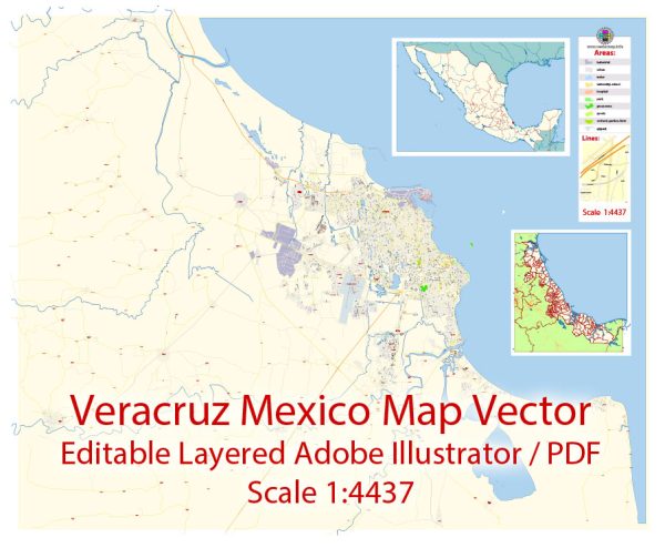
Veracruz, located on the Gulf of Mexico in eastern Mexico, is a city with a rich history that dates back to the pre-Columbian era. The urban history and street system of Veracruz reflect the city’s colonial past, its strategic location as a port, and its cultural heritage.
Vectormap.Net provide you with the most accurate and up-to-date vector maps in Adobe Illustrator, PDF and other formats, designed for editing and printing. Please read the vector map descriptions carefully.
Here is a detailed overview:
Pre-Columbian Era:
Before the arrival of the Spanish, the region was inhabited by various indigenous groups, including the Totonac people. The city of Quiahuiztlán, a Totonac settlement near present-day Veracruz, served as an important trading center. The Totonacs had a well-established network of roads and trade routes.
Spanish Colonial Period (1519-1821):
Veracruz was one of the first Spanish settlements in the Americas. Hernán Cortés landed in what is now Veracruz in 1519, marking the beginning of the conquest of the Aztec Empire. The city of Veracruz was officially founded in 1519, becoming a crucial port for Spanish trade and communication with Spain. The Spanish introduced a grid-like street system, common in colonial urban planning.
The Zócalo (main square) became the central hub of the city, surrounded by important colonial buildings such as the Cathedral of Our Lady of the Assumption, which was constructed between the 17th and 18th centuries. The city’s historic center still preserves many colonial-era buildings, contributing to its designation as a UNESCO World Heritage Site.
Independence Era and 19th Century:
Veracruz played a significant role in the Mexican War of Independence (1810-1821) as it was one of the first cities to declare independence from Spanish rule. During the 19th century, the city’s street system evolved, influenced by urbanization trends of the time.
20th Century:
The city continued to grow and modernize in the 20th century, with developments in infrastructure and transportation. The expansion of the port facilities further solidified Veracruz’s position as a key maritime hub.
Contemporary Veracruz:
Today, Veracruz is a vibrant city that blends its colonial heritage with modern influences. The street system includes a mix of narrow colonial-era streets in the historic center and wider avenues in more contemporary parts of the city. The Malecón (boardwalk) along the Gulf of Mexico offers scenic views and is a popular area for both locals and tourists.
The city’s urban landscape is marked by a mix of architectural styles, from colonial buildings to more modern structures. The port remains a vital economic and cultural center, handling a significant portion of Mexico’s imports and exports.
In summary, the urban history and street system of Veracruz reflect its diverse cultural and historical influences, from pre-Columbian civilizations to Spanish colonialism and subsequent periods of change and growth. The city’s blend of historical charm and modern infrastructure makes it a fascinating destination.


 Author: Kirill Shrayber, Ph.D. FRGS