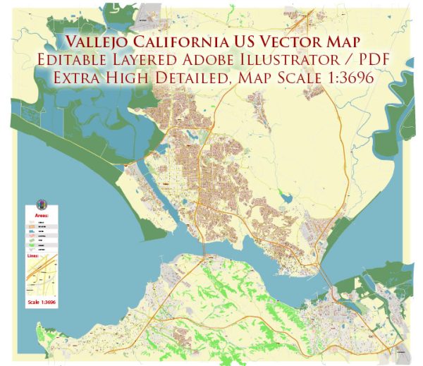
A general overview of Vallejo, California, including its districts, communities, and main streets.
Vectormap.Net provide you with the most accurate and up-to-date vector maps in Adobe Illustrator, PDF and other formats, designed for editing and printing. Please read the vector map descriptions carefully.
Districts:
- Downtown Vallejo:
- Downtown Vallejo is the historic heart of the city and features a mix of commercial and residential buildings.
- The Vallejo waterfront, with its marina and ferry terminal, is a notable attraction in this area.
- Mare Island, a former naval shipyard, is located nearby and has undergone redevelopment efforts.
- North Vallejo:
- This area is mainly residential, with a mix of single-family homes and apartment complexes.
- North Vallejo is home to parks, schools, and local businesses.
- South Vallejo:
- Similar to the north, South Vallejo is primarily residential but may also have some industrial areas.
- Parks, schools, and community facilities contribute to the neighborhood’s character.
- Mare Island:
- Historically a naval shipyard, Mare Island has seen redevelopment with a mix of residential, commercial, and industrial spaces.
- The area has historical significance, with well-preserved naval architecture.
Communities:
- Vallejo Heights:
- A residential community with a mix of housing types, including single-family homes and apartments.
- Tennessee Street Corridor:
- This area features a commercial corridor with shopping centers, restaurants, and businesses.
- Glencove:
- Located along the waterfront, Glencove is a residential community with scenic views.
- Hiddenbrooke:
- A planned community in North Vallejo, Hiddenbrooke features a golf course and upscale housing.
Main Streets:
- Sonoma Boulevard:
- One of the main thoroughfares in Vallejo, Sonoma Boulevard runs through the city, connecting different neighborhoods.
- Tennessee Street:
- Tennessee Street is a major commercial corridor with various shops, restaurants, and businesses.
- Springs Road:
- Springs Road is another significant street in Vallejo, providing access to different parts of the city.
Please note that Vallejo’s development and neighborhoods may have evolved since my last update. For the most accurate and up-to-date information, consider checking with local sources or the city’s official website.


 Author: Kirill Shrayber, Ph.D.