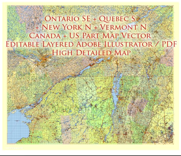
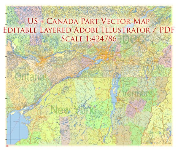
The North East part of the United States and the South East part of Canada are densely populated regions with major cities, airports, and well-developed road networks.
Vectormap.Net provide you with the most accurate and up-to-date vector maps in Adobe Illustrator, PDF and other formats, designed for editing and printing. Please read the vector map descriptions carefully.
An overview of some key cities, airports, and principal roads in these regions.
North East USA:
- New York City, New York:
- Airports: John F. Kennedy International Airport (JFK), LaGuardia Airport (LGA), Newark Liberty International Airport (EWR).
- Roads: Major highways include I-95, I-87, I-78, I-280.
- Boston, Massachusetts:
- Airport: Logan International Airport (BOS).
- Roads: I-93, I-95, I-90 (Massachusetts Turnpike).
- Philadelphia, Pennsylvania:
- Airport: Philadelphia International Airport (PHL).
- Roads: I-95, I-76 (Schuylkill Expressway), I-476.
- Washington, D.C.:
- Airports: Ronald Reagan Washington National Airport (DCA), Washington Dulles International Airport (IAD), Baltimore/Washington International Thurgood Marshall Airport (BWI).
- Roads: I-95, I-495 (Capital Beltway), I-270.
- Baltimore, Maryland:
- Airport: Baltimore/Washington International Thurgood Marshall Airport (BWI).
- Roads: I-95, I-695 (Baltimore Beltway), I-83.
South East Canada:
- Toronto, Ontario:
- Airports: Toronto Pearson International Airport (YYZ), Billy Bishop Toronto City Airport (YTZ).
- Roads: 401 Express, Queen Elizabeth Way (QEW), Don Valley Parkway.
- Montreal, Quebec:
- Airport: Montréal-Pierre Elliott Trudeau International Airport (YUL).
- Roads: Autoroute 40 (Trans-Canada Highway), Autoroute 15, Autoroute 720.
- Ottawa, Ontario:
- Airport: Ottawa Macdonald-Cartier International Airport (YOW).
- Roads: Highway 417 (Queensway), Highway 416.
- Quebec City, Quebec:
- Airport: Québec City Jean Lesage International Airport (YQB).
- Roads: Autoroute 20, Autoroute 40.
- Halifax, Nova Scotia:
- Airport: Halifax Stanfield International Airport (YHZ).
- Roads: Highway 102, Highway 118.
Note: These are just a few examples, and each city has an extensive network of local roads and public transportation options. Additionally, there are numerous smaller cities and towns in these regions with their own airports and road connections, contributing to the overall connectivity and accessibility of the North East USA and South East Canada.


 Author: Kirill Shrayber, Ph.D.