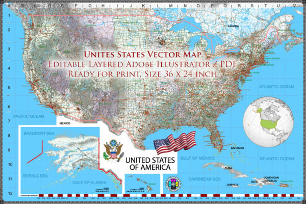
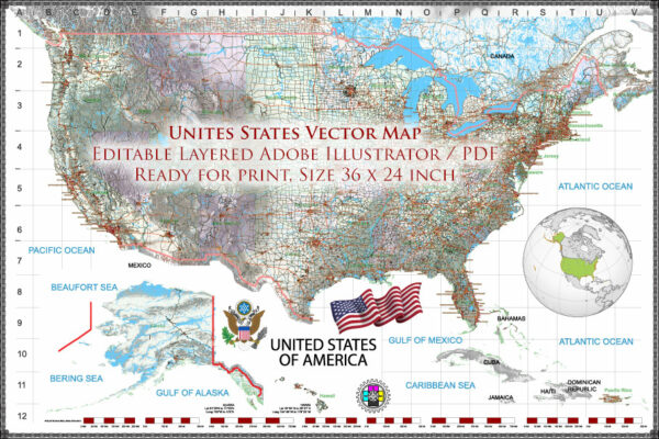
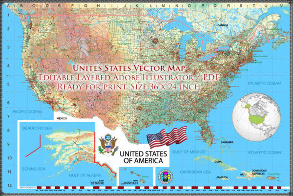
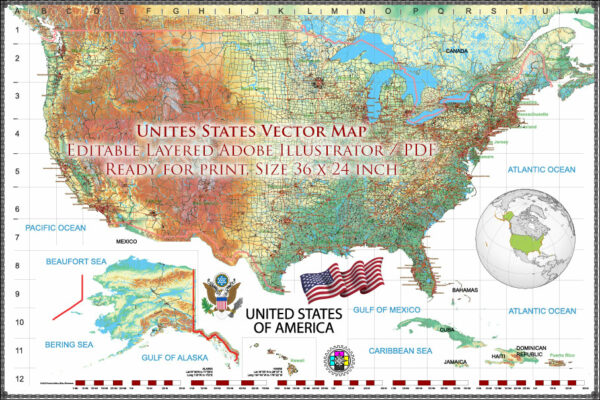
The United States is a vast and diverse country with a multitude of cities, airports, and a well-developed road network.
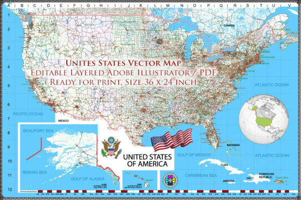
Vectormap.Net provide you with the most accurate and up-to-date vector maps in Adobe Illustrator, PDF and other formats, designed for editing and printing. Please read the vector map descriptions carefully.
Here’s a brief overview of some of the main cities, major airports, and principal roads in the United States:
Main Cities:
- New York City, New York:
- Notable for its iconic skyline, Times Square, Central Park, and cultural institutions.
- Major airports: John F. Kennedy International Airport (JFK), LaGuardia Airport (LGA), Newark Liberty International Airport (EWR).
- Los Angeles, California:
- Known for Hollywood, entertainment industry, and beautiful beaches.
- Major airport: Los Angeles International Airport (LAX).
- Chicago, Illinois:
- Famous for its architecture, deep-dish pizza, and Lake Michigan.
- Major airports: O’Hare International Airport (ORD), Midway International Airport (MDW).
- Houston, Texas:
- A hub for the energy industry and home to NASA’s Johnson Space Center.
- Major airport: George Bush Intercontinental Airport (IAH).
- Miami, Florida:
- Known for its beaches, vibrant nightlife, and cultural diversity.
- Major airport: Miami International Airport (MIA).
- San Francisco, California:
- Famous for the Golden Gate Bridge, Alcatraz Island, and tech innovation.
- Major airport: San Francisco International Airport (SFO).
- Washington, D.C.:
- The capital of the United States, rich in history and political significance.
- Major airport: Ronald Reagan Washington National Airport (DCA), Washington Dulles International Airport (IAD).
- Boston, Massachusetts:
- Known for its colonial history, universities, and sports teams.
- Major airport: Logan International Airport (BOS).
Major Airports:
- Hartsfield-Jackson Atlanta International Airport (ATL): Located in Atlanta, Georgia, it is one of the busiest airports globally.
- Dallas/Fort Worth International Airport (DFW): Serving the Dallas and Fort Worth metroplex in Texas.
- Denver International Airport (DEN): Located in Colorado, known for its distinctive architecture.
- Seattle-Tacoma International Airport (SEA): Serving the Seattle metropolitan area in Washington.
- Orlando International Airport (MCO): Located in Florida, a major gateway for tourism.
Principal Roads:
- Interstate Highway System:
- A network of controlled-access highways that crisscross the country.
- Key interstates include I-95 (East Coast), I-10 (East to West Southern), I-5 (West Coast), I-90 (East to West Northern), etc.
- U.S. Routes:
- National highways connecting major cities and regions.
- State Highways:
- Intra-state roads connecting cities and towns within individual states.
- Beltways and Ring Roads:
- Examples include the Capital Beltway (I-495) around Washington, D.C., and the I-285 loop around Atlanta.
- Scenic Byways:
- Routes known for their scenic beauty, like the Pacific Coast Highway (California) and Blue Ridge Parkway (Virginia to North Carolina).
This overview provides just a snapshot, and there are many more cities, airports, and roads contributing to the diverse and extensive infrastructure of the United States.

 Author: Kirill Shrayber, Ph.D. FRGS