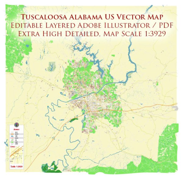
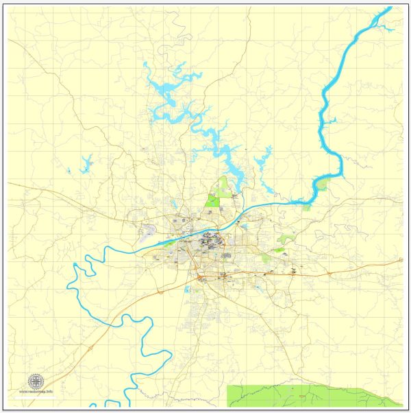
Tuscaloosa, Alabama, is a city with a rich history and diverse neighborhoods.
Vectormap.Net provide you with the most accurate and up-to-date vector maps in Adobe Illustrator, PDF and other formats, designed for editing and printing. Please read the vector map descriptions carefully.
Here’s a brief overview of some of the main districts, communities, and streets in Tuscaloosa:
- Downtown Tuscaloosa:
- Main Streets: Downtown Tuscaloosa is centered around University Boulevard and Greensboro Avenue. This area features historic buildings, shops, restaurants, and cultural venues. It’s a hub for events and activities, including the Tuscaloosa Amphitheater.
- University of Alabama Campus:
- Communities: The University of Alabama is a significant presence in Tuscaloosa, and its campus is home to various communities, including student dormitories, academic buildings, and recreational facilities.
- Historic Districts:
- Districts: Tuscaloosa has several historic districts, such as the Old Tavern Historic District and the Capitol Park Historic District. These areas showcase the city’s historical architecture and landmarks.
- The Strip:
- Main Streets: Known as “The Strip,” this section of University Boulevard near the University of Alabama campus is a popular destination for students and locals. It’s lined with bars, restaurants, and shops, creating a vibrant and energetic atmosphere.
- Midtown Village:
- Communities: Midtown Village is a mixed-use development near the University of Alabama campus. It includes residential spaces, retail shops, and dining options, making it a convenient and lively area.
- Five Points South:
- Districts: While Five Points South is more closely associated with Birmingham, there is a Five Points area in Tuscaloosa as well. It’s a neighborhood with a mix of residential and commercial spaces, offering unique shops and eateries.
- Forest Lake:
- Communities: This residential area features the scenic Forest Lake, providing a peaceful and picturesque setting. It’s a community with a mix of housing options and green spaces.
- Alberta City:
- Communities: Located northeast of downtown, Alberta City is a diverse community with both residential and commercial areas. It has undergone revitalization efforts in recent years, including the construction of the Alberta Park and a community center.
- Northport:
- Communities: Across the Black Warrior River from downtown Tuscaloosa, Northport is a separate city with its own character. It has a historic downtown area and various neighborhoods offering a range of housing options.
- Riverwalk:
- Main Streets: The Tuscaloosa Riverwalk runs along the southern bank of the Black Warrior River, providing a scenic pathway for walking, jogging, and biking. It’s a peaceful area with parks and recreational spaces.
These descriptions provide an overview of some of the key districts, communities, and streets in Tuscaloosa. The city’s layout and character may evolve over time, so it’s always a good idea to check for the latest developments and changes in the local landscape.


 Author: Kirill Shrayber, Ph.D. FRGS