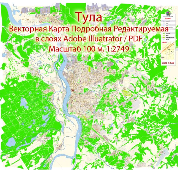
A general overview of Tula’s industrial history and road system up to that point.
Vectormap.Net provide you with the most accurate and up-to-date vector maps in Adobe Illustrator, PDF and other formats, designed for editing and printing. Please read the vector map descriptions carefully.
Industrial History of Tula, Russia:
Tula is a city in Russia located about 193 kilometers south of Moscow. Historically, Tula has been known for its industrial and cultural significance. Here are some key points about the industrial history of Tula:
- Arms Manufacturing: Tula is famous for its arms manufacturing industry, with a rich tradition dating back to the 16th century. The Tula Arms Plant, established in 1712, played a crucial role in supplying weapons to the Russian military. The city’s association with arms production has contributed significantly to its historical identity.
- Metalworking and Machinery: Apart from arms manufacturing, Tula has been involved in metalworking and machinery production. The city’s industrial base expanded over the years, encompassing various sectors such as engineering, metal processing, and manufacturing of industrial equipment.
- Chemical Industry: Tula has also been a center for the chemical industry, with the production of chemicals and chemical products contributing to the city’s economic development.
- Modernization and Diversification: In the post-Soviet era, Tula, like many other Russian cities, underwent a process of modernization and economic diversification. Efforts were made to adapt the industrial base to contemporary economic demands and international market trends.
Road System in Tula, Russia:
The road system in Tula, as in many Russian cities, is crucial for transportation and connectivity. Key points about the road system in Tula include:
- Road Infrastructure: Tula has a network of roads and highways that connect it to other cities and regions. Major roads facilitate transportation within the city and provide links to neighboring areas. The road infrastructure is essential for the movement of goods and people.
- Public Transportation: Tula has a public transportation system that includes buses and possibly other modes of transportation like trams or trolleybuses. The public transportation system contributes to the overall mobility of the city’s residents.
- Development Projects: Like many cities, Tula may have been involved in ongoing development projects aimed at improving the road infrastructure. This could include road expansions, upgrades, and modernization to meet the growing needs of the population and businesses.
For the latest and most accurate information, you may want to refer to more recent sources or contact local authorities in Tula.


 Author: Kirill Shrayber, Ph.D. FRGS