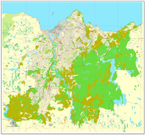
Trondheim is a historic city in central Norway, known for its medieval architecture, vibrant cultural scene, and as the former capital of Norway. The city is situated on the shores of the Trondheimsfjord and is the third-largest city in Norway.
Vectormap.Net provide you with the most accurate and up-to-date vector maps in Adobe Illustrator, PDF and other formats, designed for editing and printing. Please read the vector map descriptions carefully.
Here’s a detailed description of some of the districts, communities, and main streets in Trondheim:
- City Center (Sentrum):
- Nidaros Cathedral (Nidarosdomen): The iconic cathedral is the largest in Norway and a major pilgrimage site. It dates back to the 11th century and is a key landmark in the city center.
- Torvet (The Market Square): This central square is surrounded by historic buildings, shops, and restaurants. It’s a gathering place for locals and visitors and often hosts events and markets.
- Olav Tryggvason Street: A bustling pedestrian street filled with shops, cafes, and restaurants, named after King Olav Tryggvason, who founded Trondheim in the 10th century.
- Bakklandet:
- A charming area on the east side of the Nidelva River, Bakklandet is known for its well-preserved, colorful wooden houses. It has a bohemian atmosphere, with narrow streets, artisan shops, and cozy cafes.
- Old Town Bridge (Gamle Bybro): A picturesque, historic bridge connecting Bakklandet with the city center, adorned with small, old-fashioned houses.
- Ila:
- A residential district on the western side of the city center, Ila is characterized by its historic wooden houses and proximity to the Trondheim Fjord.
- Lademoen:
- A vibrant and diverse neighborhood, Lademoen is known for its parks, green spaces, and a mix of residential and commercial areas.
- Møllenberg:
- Situated southeast of the city center, Møllenberg is a diverse and multicultural neighborhood with a mix of residential buildings, shops, and cafes.
- Solsiden:
- A modern waterfront area, Solsiden is a popular destination for shopping, dining, and entertainment. It features contemporary architecture and a lively atmosphere, especially during the summer months.
- Lerkendal:
- Home to the Lerkendal Stadium, this area is known for sports and recreation. The stadium is the home ground for Rosenborg BK, one of the most successful football clubs in Norway.
- Byåsen:
- A residential district located on a hill to the northwest of the city center, Byåsen offers panoramic views of Trondheim and the surrounding areas.
- Grilstad Marina:
- Situated along the fjord, Grilstad Marina is a modern waterfront development with residential areas, marinas, and recreational spaces.
- Tyholt:
- Known for the Tyholttårnet, an iconic telecommunications tower, Tyholt is a district in the eastern part of Trondheim with a mix of residential and commercial areas.
Trondheim’s neighborhoods offer a diverse range of experiences, from the historic charm of Bakklandet to the modern vibe of Solsiden. The city’s rich history, cultural attractions, and natural surroundings make it a fascinating destination for residents and visitors alike.


 Author: Kirill Shrayber, Ph.D.