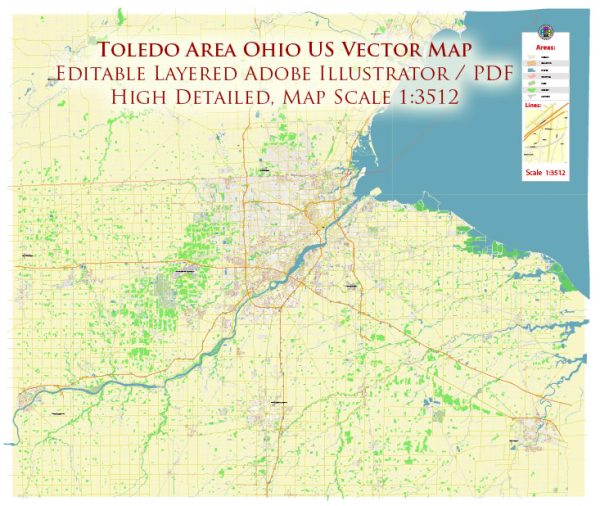
A general overview of Toledo, Ohio, including its major districts and neighborhoods. For the most accurate and up-to-date information, consider checking local sources or maps.
Toledo is a city located in northwest Ohio, situated along the western end of Lake Erie. It serves as the county seat of Lucas County.
Vectormap.Net provide you with the most accurate and up-to-date vector maps in Adobe Illustrator, PDF and other formats, designed for editing and printing. Please read the vector map descriptions carefully.
Here’s a general breakdown of some notable districts, communities, and main streets:
- Downtown Toledo:
- Key Streets: Summit Street, Jefferson Avenue, and Monroe Street.
- Description: Downtown Toledo is the central business district, featuring a mix of commercial, residential, and cultural establishments. The area includes the Promenade Park along the Maumee River, the Imagination Station science museum, and the Huntington Center arena.
- Old West End:
- Key Streets: Scottwood Avenue, Collingwood Boulevard.
- Description: Known for its historic Victorian and Edwardian homes, the Old West End is a residential district with tree-lined streets and unique architecture. It’s also home to the annual Old West End Festival.
- Warehouse District:
- Key Streets: Erie Street, Lafayette Street.
- Description: This area features converted warehouses and industrial spaces, now hosting trendy bars, restaurants, and art galleries. It has a vibrant nightlife scene.
- University of Toledo Area:
- Key Streets: Dorr Street, Secor Road.
- Description: Home to the University of Toledo, this area has a mix of student housing, academic buildings, and amenities catering to the university community.
- West Toledo:
- Key Streets: Central Avenue, Sylvania Avenue.
- Description: West Toledo is a diverse residential area with various neighborhoods. It includes parks like Wildwood Preserve Metropark and shopping districts.
- South Toledo:
- Key Streets: Airport Highway, Byrne Road.
- Description: South Toledo is a mix of residential and commercial areas. It includes neighborhoods like Southwyck and the Stranahan Theater and Great Hall.
- East Toledo:
- Key Streets: Navarre Avenue, Front Street.
- Description: East Toledo is known for its industrial areas and residential neighborhoods. It has a strong sense of community and includes the historic Birmingham neighborhood.
- Maumee:
- Key Streets: Conant Street, Anthony Wayne Trail.
- Description: While not part of Toledo, the city of Maumee is nearby and often considered part of the Toledo metropolitan area. It has a historic downtown area, and the Maumee River runs through it.
Please note that Toledo is constantly evolving, and new developments or changes to infrastructure may have occurred since my last update. It’s recommended to consult local sources or maps for the most current information.


 Author: Kirill Shrayber, Ph.D. FRGS