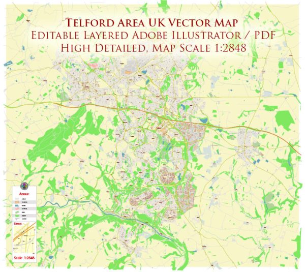
Telford is a town in the borough of Telford and Wrekin in Shropshire, England. It is a relatively modern town with a history rooted in the Industrial Revolution, and as such, it may not have as many ancient historic sites as some other English towns.
Vectormap.Net provide you with the most accurate and up-to-date vector maps in Adobe Illustrator, PDF and other formats, designed for editing and printing. Please read the vector map descriptions carefully.
There are still several notable places, buildings, streets, and squares in and around the Telford area that showcase its history and development.
- Ironbridge Gorge: While not technically in Telford itself, the Ironbridge Gorge, located a few miles to the south, is a UNESCO World Heritage Site and a significant historic area. It is known for the Iron Bridge, the first cast-iron bridge in the world, built in 1779 by Abraham Darby III. The gorge is a picturesque location with a collection of industrial-era museums and historic buildings.
- The Wrekin: This prominent hill located to the east of Telford offers stunning panoramic views of the surrounding area. It has historical significance and is believed to have been an Iron Age hillfort. The Wrekin is a popular destination for hikers and nature enthusiasts.
- Dawley: Dawley is one of the historic areas within Telford, and it has a market square with some older buildings. St. Leonard’s Church, dating back to the 12th century, is one of the notable landmarks in Dawley.
- Southwater Square: Located in the heart of Telford, Southwater Square is a modern development with a mix of shops, restaurants, and entertainment venues. While not historic in the traditional sense, it reflects the contemporary development of the town.
- Telford Town Park: This large park in the town center includes extensive green spaces, play areas, and a lake. It provides a recreational area for residents and visitors and is often used for events and festivals.
- Malinslee: Another historic area in Telford, Malinslee has a mix of older buildings and newer developments. St. Leonard’s Church, dating back to the 12th century, is a noteworthy historical site in this part of Telford.
- Madeley Court: Located in the nearby village of Madeley, Madeley Court is a Grade II listed manor house that dates back to the 16th century. It has historical significance and is now often used as a hotel and conference venue.
- St. Quentin Gate: This gate is part of Telford’s Southwater development and is a modern architectural feature. It serves as a symbol of the town’s redevelopment and growth.
While Telford may not have the same concentration of medieval or Tudor-era buildings as some other English towns, its history is tied to the Industrial Revolution and the subsequent development of modern urban planning. Exploring both the older and newer areas of Telford provides a glimpse into the town’s evolving history and identity.


 Author: Kirill Shrayber, Ph.D.