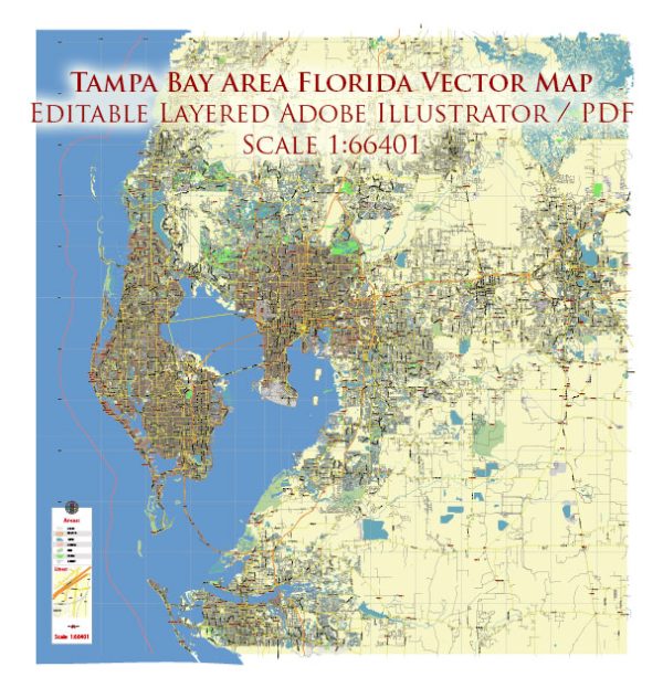
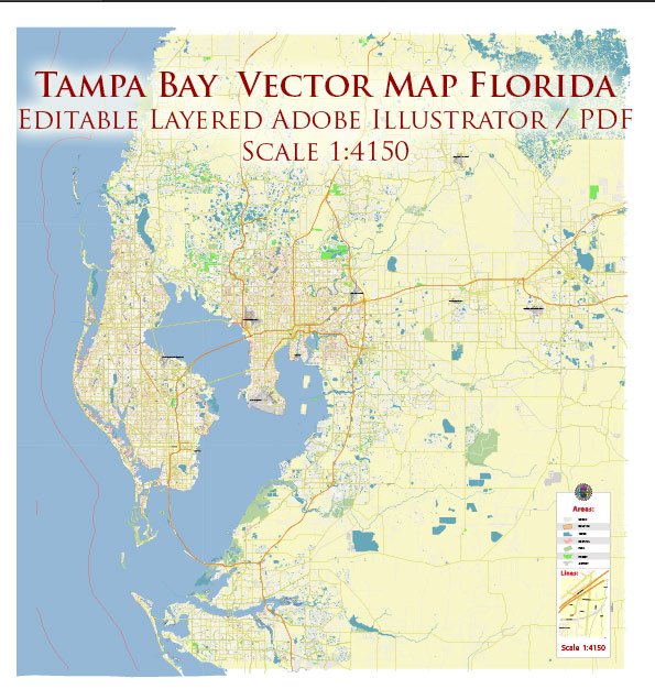
Tampa Bay, located on the west coast of Florida, is a vibrant region with several cities, ports, towns, and a network of roads connecting them. The main cities in the Tampa Bay area include Tampa, St. Petersburg, Clearwater, and Bradenton. Each of these cities has its own unique characteristics and attractions.
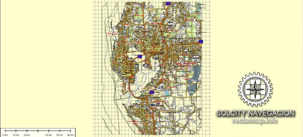
Vectormap.Net provide you with the most accurate and up-to-date vector maps in Adobe Illustrator, PDF and other formats, designed for editing and printing. Please read the vector map descriptions carefully.
- Tampa:
- Port of Tampa: One of the largest ports in Florida, the Port of Tampa is a major hub for shipping and commerce. It handles various types of cargo, including containerized goods, bulk cargo, and petroleum products.
- Ybor City: Historic Ybor City is known for its Cuban and Latin influences. It has a lively atmosphere with historic buildings, restaurants, and nightlife.
- St. Petersburg:
- Port of St. Petersburg: While not as large as the Port of Tampa, the Port of St. Petersburg plays a significant role in the region’s maritime activities.
- The Pier: St. Petersburg’s downtown waterfront features The Pier, a popular destination with shops, restaurants, and recreational activities.
- Clearwater:
- Clearwater Beach: Famous for its white sandy beaches, Clearwater Beach is a major tourist destination with resorts, water activities, and a lively beach scene.
- Clearwater Marine Aquarium: Home to Winter the Dolphin, the Clearwater Marine Aquarium is a popular attraction focused on marine life conservation.
- Bradenton:
- Port Manatee: Located just south of the Tampa Bay area in Manatee County, Port Manatee is a deepwater seaport handling containerized and bulk cargo.
Principal Roads:
- Interstate 275 (I-275): Connects St. Petersburg and Tampa, providing a crucial transportation link across the bay.
- Interstate 4 (I-4): Runs east-west and connects Tampa to Orlando and other central Florida locations.
- U.S. Route 19 (US 19): A major north-south highway that traverses the Tampa Bay area, passing through Clearwater and St. Petersburg.
- State Road 60 (SR 60): An east-west route connecting Tampa to Clearwater and the Gulf beaches.
Tampa Bay’s transportation infrastructure plays a pivotal role in facilitating the movement of people and goods throughout the region. The combination of major highways, ports, and local roads contributes to the economic vitality and cultural diversity of the area.


 Author: Kirill Shrayber, Ph.D. FRGS