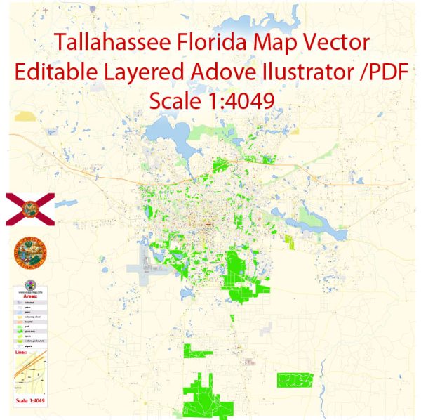
Tallahassee, the capital of Florida, is a vibrant city with a rich history and a unique blend of Southern charm and urban sophistication. The city is known for its diverse neighborhoods, historic districts, and lively communities.
Vectormap.Net provide you with the most accurate and up-to-date vector maps in Adobe Illustrator, PDF and other formats, designed for editing and printing. Please read the vector map descriptions carefully.
- Downtown Tallahassee:
- Description: The heart of Tallahassee, Downtown is a mix of government buildings, cultural institutions, and commercial establishments. You’ll find the State Capitol, the Florida Supreme Court, and various museums. Adams Street is a prominent street in downtown, known for its shops, restaurants, and nightlife.
- Midtown:
- Description: Located just north of downtown, Midtown is a trendy and popular area with a mix of historic homes, boutique shops, and a variety of dining options. Thomasville Road is a key thoroughfare, featuring an array of businesses and services.
- Cascades Park:
- Description: This area, adjacent to downtown, is home to Cascades Park, a large urban park with walking trails, a pond, and outdoor amphitheater. It’s a great place for recreation and events.
- College Town:
- Description: Near Florida State University, College Town is a lively district with numerous bars, restaurants, and shops catering to the university community. It’s a hub for students and visitors attending FSU events.
- Betton Hills:
- Description: A residential area characterized by tree-lined streets and charming homes. Betton Hills is known for its community feel and proximity to local parks. Thomasville Road is a major route in this neighborhood.
- Killearn Estates:
- Description: A large residential community in the northern part of Tallahassee, Killearn Estates is known for its golf courses, parks, and family-friendly atmosphere. Thomasville Road and Capital Circle NE are major roads in this area.
- Southwood:
- Description: Southwood is a planned community with a mix of residential, commercial, and green spaces. It has a golf course, parks, and a town center. Capital Circle SE is a significant road in this area.
- Frenchtown:
- Description: Historically African American, Frenchtown is a community with a rich cultural heritage. It has seen revitalization efforts in recent years, with a focus on preserving its history and fostering economic development.
- Apalachee Ridge:
- Description: A residential area with parks and schools. Apalachee Parkway is a major road connecting this area to downtown and other parts of the city.
- Apalachee Parkway:
- Description: One of the main east-west corridors in Tallahassee, Apalachee Parkway is a commercial hub with shopping centers, restaurants, and businesses.
Remember that the city’s landscape and neighborhoods can evolve, and it’s always a good idea to check for the latest information from local sources for the most accurate and up-to-date details.


 Author: Kirill Shrayber, Ph.D. FRGS