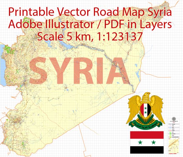
The information about some of the main cities, ports, towns, and principal roads in Syria.
Vectormap.Net provide you with the most accurate and up-to-date vector maps in Adobe Illustrator, PDF and other formats, designed for editing and printing. Please read the vector map descriptions carefully.
Main Cities:
- Damascus: The capital and largest city of Syria, located in the southwestern part of the country. Damascus is one of the oldest continuously inhabited cities in the world and has a rich history and cultural heritage.
- Aleppo: A major city in the northern part of Syria, known for its historical significance and economic importance. Aleppo has a well-preserved medieval old city, which is a UNESCO World Heritage Site.
- Homs: Situated in western Syria, Homs is a key industrial center and is historically significant. It has been a major hub for trade and commerce.
- Hama: Located along the banks of the Orontes River, Hama is known for its waterwheels and historical sites. The city has a rich agricultural tradition and is an important center for the production of cotton and wheat.
- Latakia: A port city on the Mediterranean coast, Latakia is a major economic and cultural center. It has a significant Christian minority and is known for its diverse population.
Ports:
- Port of Latakia: Latakia is home to one of Syria’s main seaports on the Mediterranean. The port plays a crucial role in the country’s trade and commerce.
- Port of Tartus: Located in the city of Tartus, this port is another important facility on the Mediterranean coast, facilitating maritime trade.
Towns:
- Palmyra: Although not a major city, Palmyra is historically significant for its ancient ruins, including the famous Temple of Baal and the Roman theater.
- Qamishli: Located in northeastern Syria, near the border with Turkey, Qamishli is an important town with a diverse population, including Kurds and Assyrians.
Principal Roads:
- M1 Highway: Also known as the “Damascus-Aleppo Highway,” it connects the capital, Damascus, with the northern city of Aleppo, passing through Homs.
- M5 Highway: Running from the southern border with Jordan to the northern border with Turkey, the M5 is a crucial north-south highway that passes through major cities like Damascus, Homs, and Aleppo.
- M7 Highway: This east-west highway connects the Iraqi border to the Mediterranean coast, passing through cities like Palmyra and Homs.
It’s important to note that the Syrian conflict, which began in 2011, has significantly impacted the infrastructure and stability of the country. Please check the latest sources for the most up-to-date information on the current situation in Syria.


 Author: Kirill Shrayber, Ph.D. FRGS