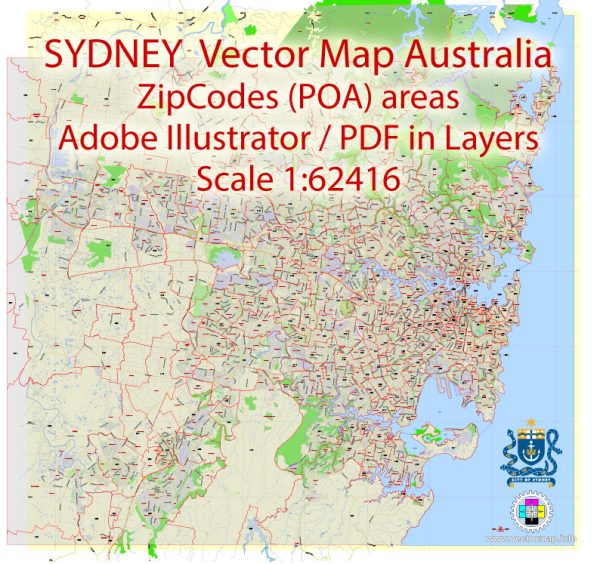
Sydney, Australia, is a vibrant and diverse city with a rich tapestry of neighborhoods, districts, and communities.
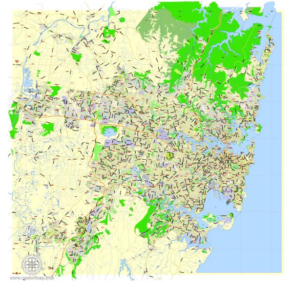
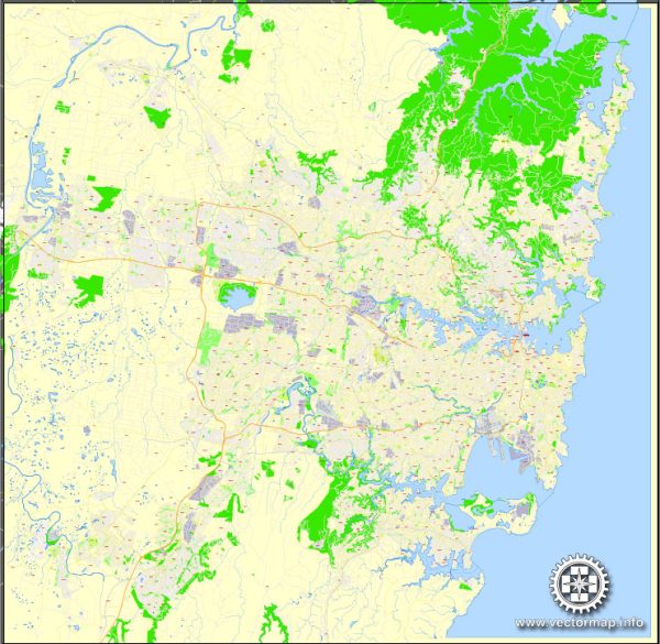
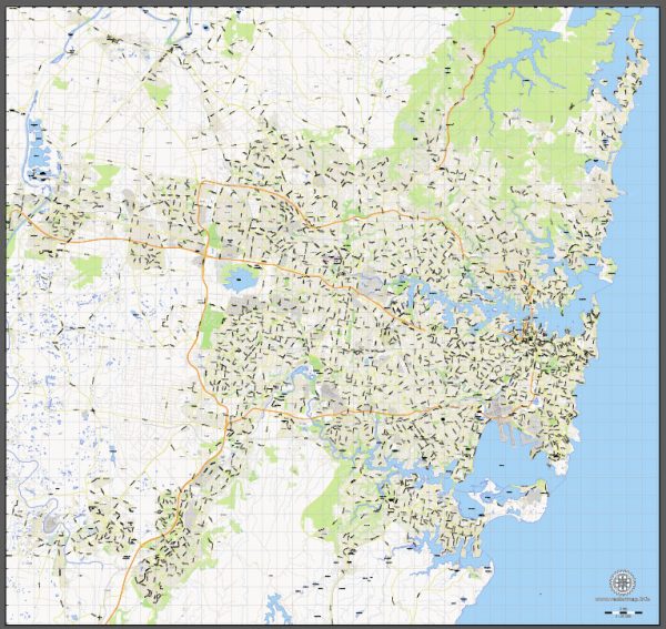
Vectormap.Net provide you with the most accurate and up-to-date vector maps in Adobe Illustrator, PDF and other formats, designed for editing and printing. Please read the vector map descriptions carefully.
Here’s a brief overview of some of the key areas and main streets:
- Central Business District (CBD):
- The heart of Sydney’s financial and business activities.
- George Street is a major thoroughfare, home to shopping centers like the Queen Victoria Building and the Galeries, as well as historic sites like the Sydney Town Hall.
- Circular Quay is a waterfront area with iconic landmarks such as the Sydney Opera House and the Sydney Harbour Bridge.
- The Rocks:
- A historic area with cobbled streets and charming heritage buildings.
- Playfair Street and George Street in The Rocks are lined with shops, pubs, and restaurants.
- Darling Harbour:
- A bustling waterfront precinct with attractions like the SEA LIFE Sydney Aquarium, WILD LIFE Sydney Zoo, and the Darling Harbour Convention Centre.
- Prominent streets include Cockle Bay Wharf and Darling Drive.
- Surry Hills:
- Known for its trendy cafes, restaurants, and a mix of residential and commercial spaces.
- Crown Street is a popular thoroughfare with diverse dining options and boutique shops.
- Paddington:
- A charming suburb with Victorian terrace houses, boutiques, and art galleries.
- Oxford Street is the main commercial street, known for its high-end fashion and vibrant atmosphere.
- Bondi Beach:
- Famous for its sandy shores and surfing culture.
- Campbell Parade runs along the beach and is lined with shops, cafes, and restaurants.
- Manly:
- A beachside suburb accessible by ferry from Circular Quay.
- The Corso is a pedestrian mall that connects the ferry terminal to the beach.
- Newtown:
- A bohemian and eclectic neighborhood with a vibrant arts and music scene.
- King Street is the main thoroughfare, offering a mix of vintage shops, cafes, and live music venues.
- Parramatta:
- Located in Western Sydney, it’s a major business and commercial center.
- Church Street is a central hub with shopping, dining, and entertainment options.
- Chatswood:
- A major business and retail district on the North Shore.
- Victoria Avenue is the main shopping street, featuring large shopping centers like Westfield Chatswood.
These descriptions are just a snapshot of the diverse neighborhoods in Sydney, each with its unique character and offerings. Sydney’s extensive public transportation system, including trains, buses, and ferries, makes it relatively easy to explore the different parts of the city.

 Author: Kirill Shrayber, Ph.D. FRGS