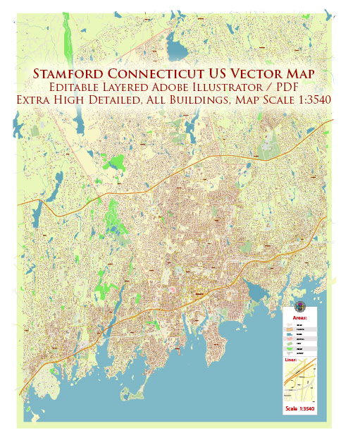
Stamford, Connecticut, is a city situated in Fairfield County, approximately 30 miles northeast of New York City. It is known for its diverse neighborhoods, vibrant communities, and a mix of residential, commercial, and recreational areas.
Vectormap.Net provide you with the most accurate and up-to-date vector maps in Adobe Illustrator, PDF and other formats, designed for editing and printing. Please read the vector map descriptions carefully.
Here’s a general overview of some of the districts, communities, and main streets in Stamford:
- Downtown Stamford:
- Main Streets: The central area of downtown Stamford features Main Street as one of its primary thoroughfares. This area is known for its high-rise office buildings, upscale condominiums, and a mix of restaurants, shops, and entertainment venues. You’ll find a bustling atmosphere during both weekdays and weekends.
- Community: Downtown Stamford is a hub for business and commerce, with corporate offices, financial institutions, and cultural attractions. The Stamford Town Center mall is a major shopping destination, and Columbus Park is a popular spot for events and gatherings.
- South End:
- Main Streets: Washington Boulevard is a key street in the South End, featuring a variety of businesses, restaurants, and residential complexes.
- Community: The South End has undergone significant redevelopment in recent years, with a focus on creating a mixed-use area. It offers a blend of modern apartments, waterfront views, and proximity to parks like Commons Park and Point Street Park.
- Glenbrook:
- Main Streets: Glenbrook Road and Hope Street are main thoroughfares in the Glenbrook neighborhood.
- Community: Glenbrook is a primarily residential area with a mix of single-family homes, condominiums, and apartments. It has a suburban feel while still being close to downtown Stamford.
- Springdale:
- Main Streets: Hope Street and Hope Street Extension are notable streets in Springdale.
- Community: Springdale is a residential area with a mix of housing options, including single-family homes and apartment complexes. It has a suburban vibe and is known for its parks and recreational facilities.
- North Stamford:
- Main Streets: North Stamford is characterized by its winding, scenic roads such as Long Ridge Road.
- Community: This area is more suburban and offers larger properties, including spacious single-family homes. It provides a quieter, more residential environment compared to the busier downtown districts.
- Shippan:
- Main Streets: Shippan Avenue is a key road in the Shippan neighborhood.
- Community: Shippan is a waterfront community with a mix of housing options, including waterfront estates, condominiums, and apartments. It has a coastal atmosphere and provides easy access to the Long Island Sound.
These descriptions provide a broad overview, and each neighborhood in Stamford has its unique character and charm. Stamford is a dynamic city that combines urban amenities with suburban and waterfront living, making it a diverse and appealing place to reside.


 Author: Kirill Shrayber, Ph.D. FRGS