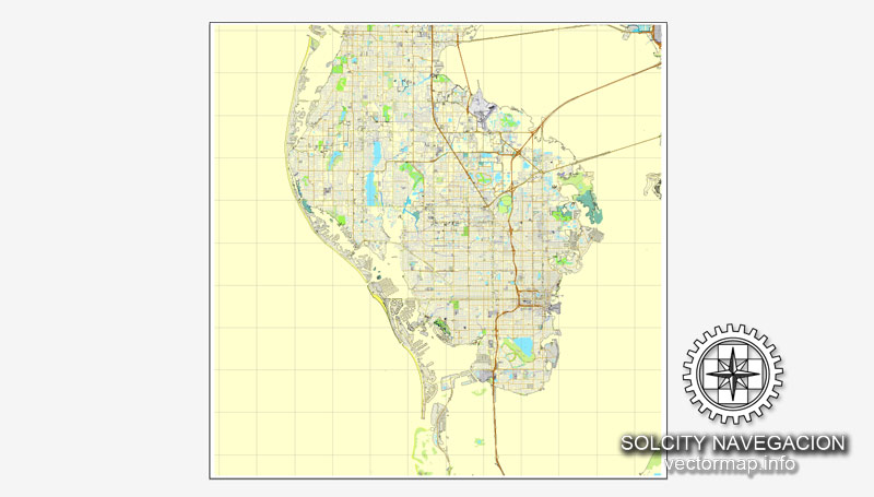
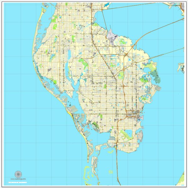
A general overview of the port, main streets, and roads in St. Petersburg, Florida.
Vectormap.Net provide you with the most accurate and up-to-date vector maps in Adobe Illustrator, PDF and other formats, designed for editing and printing. Please read the vector map descriptions carefully.
Port: St. Petersburg doesn’t have a major commercial port, but it has a vibrant waterfront area. The Port of St. Petersburg primarily serves as a marina and docking area for recreational boats and yachts. The city’s waterfront is a focal point for various events, waterfront parks, and leisure activities. The St. Petersburg Yacht Club and other marinas contribute to the nautical atmosphere along the waterfront.
Main Streets:
- Central Avenue: Central Avenue is a major east-west thoroughfare that cuts through the heart of downtown St. Petersburg. It is known for its eclectic mix of shops, restaurants, and galleries. The downtown area has undergone significant redevelopment, and Central Avenue plays a key role in connecting various neighborhoods.
- Beach Drive: Beach Drive is a picturesque street along the waterfront, offering stunning views of Tampa Bay. Lined with upscale shops, boutiques, cafes, and restaurants, it’s a popular destination for both locals and visitors.
- 1st Avenue North and South: These streets run parallel to Central Avenue and are part of the grid system in downtown St. Petersburg. They host a variety of businesses, including shops, eateries, and entertainment venues.
- 22nd Street South: Also known as “The Deuces,” 22nd Street South is historically significant as a hub for African-American businesses and culture. Efforts have been made to revitalize this area and preserve its heritage.
Major Roads:
- Interstate 275 (I-275): I-275 runs through the western edge of St. Petersburg, connecting the city to Tampa to the northeast and Sarasota to the south.
- U.S. Highway 19 (US 19): This major north-south highway runs through St. Petersburg, providing a key route for local and regional transportation.
- Gandy Boulevard: Gandy Boulevard connects St. Petersburg to Tampa across the Gandy Bridge. It’s an essential route for commuters traveling between the two cities.
- Roosevelt Boulevard (U.S. Route 92): This east-west route intersects with I-275 and connects St. Petersburg to nearby communities.
Keep in mind that urban landscapes can change, and it’s advisable to check for the latest updates and changes in infrastructure or city planning for the most accurate information on St. Petersburg’s port, streets, and roads.


 Author: Kirill Shrayber, Ph.D. FRGS