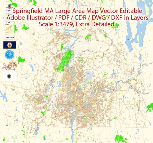
Springfield, Massachusetts, is a city with a rich history and diverse neighborhoods.
Vectormap.Net provide you with the most accurate and up-to-date vector maps in Adobe Illustrator, PDF and other formats, designed for editing and printing. Please read the vector map descriptions carefully.
Here’s a general overview of some districts, communities, and main streets in Springfield:
- Downtown Springfield:
- Main Street: Downtown Springfield is often centered around Main Street. It features a mix of commercial and cultural establishments, including restaurants, theaters, and shops.
- Financial District: This area is often associated with the city’s financial institutions and business offices.
- Metro Center:
- Court Square: A historic square in the heart of downtown, Court Square is surrounded by notable buildings and is a central gathering place.
- MGM Springfield: This integrated resort and casino complex opened in 2018, contributing to the city’s entertainment scene.
- South End:
- Forest Park: A residential neighborhood with the beautiful Forest Park, a large public park designed by Frederick Law Olmsted. It’s a popular area for outdoor activities and events.
- East Forest Park: Another residential area in the southeastern part of the city.
- East Springfield:
- Boston Road: This major thoroughfare runs through East Springfield, featuring various businesses, shops, and restaurants.
- Sixteen Acres: A suburban neighborhood in East Springfield known for its schools and parks.
- Indian Orchard:
- This neighborhood is situated in the northeastern part of the city, with a historical background in manufacturing and industry.
- North End:
- Liberty Heights: A residential neighborhood in the northwestern part of Springfield.
- Memorial Square: A neighborhood featuring War Memorial Square, dedicated to veterans.
- Brightwood:
- Brightwood Square: A neighborhood with a mix of residential and commercial properties.
- Hungry Hill:
- Sumner Avenue: This avenue runs through the Hungry Hill neighborhood and features various businesses.
- Six Corners:
- As the name suggests, Six Corners is an area where several streets intersect, forming a significant junction.
- Outer Belt:
- Wilbraham Road: This road runs along the eastern edge of the city.
Springfield has undergone revitalization efforts in recent years, with ongoing initiatives to enhance economic development, infrastructure, and community spaces. It’s a city with a diverse population and a mix of urban and suburban characteristics. For the latest and more detailed information, consider checking local government resources, community websites, or recent maps of the city.


 Author: Kirill Shrayber, Ph.D. FRGS