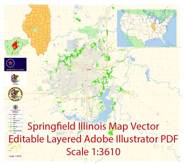
A general overview of Springfield, Illinois, including some of its districts, communities, and main streets.
Vectormap.Net provide you with the most accurate and up-to-date vector maps in Adobe Illustrator, PDF and other formats, designed for editing and printing. Please read the vector map descriptions carefully.
Springfield is the capital of the U.S. state of Illinois and is located in Sangamon County. Here’s a breakdown of some key areas:
- Downtown Springfield:
- Description: Downtown Springfield serves as the central business district and government center. It is home to various government buildings, historical sites, and cultural attractions. The State Capitol Complex, including the Illinois State Capitol building, is located here. You can find a mix of offices, shops, and restaurants.
- Historic West Side:
- Description: The Historic West Side is known for its charming residential streets, historic homes, and tree-lined avenues. This area has a more residential feel compared to the downtown district.
- Lincoln Park Neighborhood:
- Description: Located to the east of downtown, the Lincoln Park neighborhood is a residential area with parks and schools. It offers a mix of housing options and recreational spaces.
- Enos Park:
- Description: Enos Park is a historic district with a focus on community revitalization. It has a mix of historic homes, art galleries, and community initiatives aimed at preserving and enhancing the neighborhood.
- North Grand Business District:
- Description: The North Grand Business District is a commercial area with a variety of shops, restaurants, and businesses. It serves as a hub for shopping and local services.
- South Grand Avenue:
- Description: South Grand Avenue is a major thoroughfare running through Springfield, with a mix of residential and commercial properties. It includes various shops, restaurants, and amenities.
- Dirksen Parkway:
- Description: Dirksen Parkway is another important road in Springfield, known for its commercial establishments, including shopping centers, restaurants, and businesses.
- Wabash Avenue:
- Description: Wabash Avenue is a significant street in Springfield, featuring a range of retail and dining options. It runs through different neighborhoods, connecting various parts of the city.
Remember that the information provided here is a general overview, and the city may have seen changes or developments since my last update. It’s recommended to check with local sources or official city websites for the most current information about Springfield’s districts, communities, and main streets.


 Author: Kirill Shrayber, Ph.D. FRGS