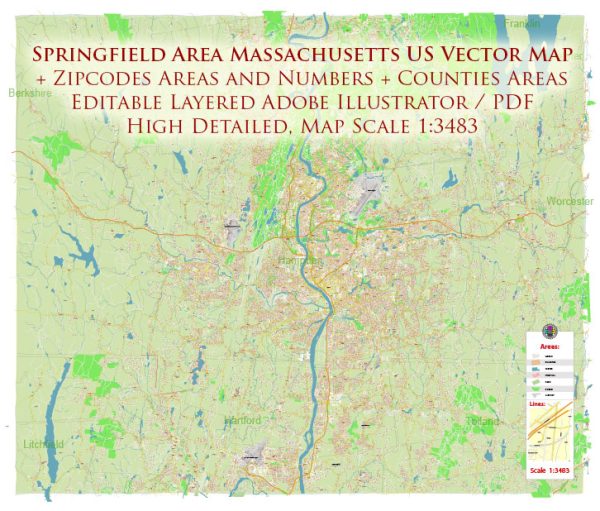
The districts, communities, and main streets of Springfield, Massachusett, a general overview based on common characteristics of cities in the United States.
Vectormap.Net provide you with the most accurate and up-to-date vector maps in Adobe Illustrator, PDF and other formats, designed for editing and printing. Please read the vector map descriptions carefully.
- Downtown Springfield:
- Typically, the downtown area is the central business district with commercial, financial, and government centers.
- Main Street often serves as a prominent thoroughfare in downtown areas, lined with businesses, shops, and offices.
- Civic buildings, historic landmarks, and cultural institutions may be concentrated in this district.
- Metro Center:
- This area might be characterized by its proximity to public transportation hubs, facilitating easy access for residents and visitors.
- Commercial and retail spaces may be present, along with entertainment options like theaters and restaurants.
- North End:
- Residential neighborhoods are often found in the North End, with a mix of housing types, including single-family homes and apartments.
- Local parks, schools, and community centers may be scattered throughout residential areas.
- Forest Park:
- If Springfield has a district like Forest Park, it could be a more suburban or green area with a focus on outdoor recreation.
- Parks, nature reserves, and recreational facilities might be key features.
- Indian Orchard:
- This area could have historical significance or cultural diversity, possibly reflected in its architecture, events, or community organizations.
- East Forest Park:
- Another residential area with schools, parks, and local amenities catering to the needs of the residents.
- Sixteen Acres:
- Similar to East Forest Park, Sixteen Acres may be a residential district with a mix of housing and community services.
- Liberty Heights:
- This area might have a distinctive character, possibly influenced by its history or unique features.
- Communities and Neighborhoods:
- Springfield is likely to have a variety of neighborhoods and communities, each with its own identity and characteristics.
- Major Streets:
- Apart from Main Street, other major streets could include State Street, Belmont Avenue, and others, connecting different parts of the city.
Please note that this is a general overview, and the specific details may vary. For the most accurate and up-to-date information, it’s recommended to refer to local resources, city planning documents, or the latest information from the Springfield city government.


 Author: Kirill Shrayber, Ph.D. FRGS