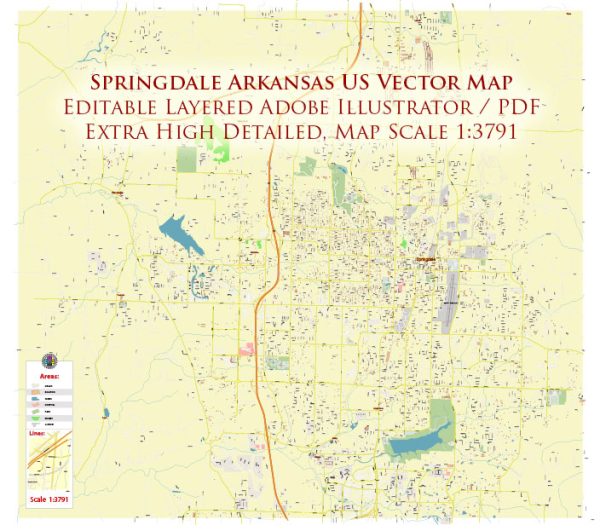
A general overview of the districts, communities, and main streets in Springdale, Arkansas.
Vectormap.Net provide you with the most accurate and up-to-date vector maps in Adobe Illustrator, PDF and other formats, designed for editing and printing. Please read the vector map descriptions carefully.
Districts and Communities:
- Downtown Springdale:
- The heart of the city, Downtown Springdale is a vibrant area with a mix of businesses, shops, and restaurants. It has been undergoing revitalization efforts in recent years to enhance its appeal.
- Har-Ber Meadows:
- A residential community in Springdale, Har-Ber Meadows features parks, walking trails, and is known for its family-friendly atmosphere.
- Jones Center Area:
- Home to The Jones Center, a community center offering various recreational and educational programs. The surrounding area may include residential neighborhoods and businesses.
- Northwest Arkansas Mall Area:
- This area is centered around the Northwest Arkansas Mall, a shopping destination, and is likely to have a mix of commercial and residential properties.
- East Springdale:
- This area may include a variety of residential neighborhoods, schools, and parks. It’s known for its diverse communities.
Main Streets and Roads:
- Emma Avenue:
- Located in Downtown Springdale, Emma Avenue is a historic street with a mix of shops, restaurants, and cultural attractions.
- Sunset Avenue:
- A major road in Springdale, Sunset Avenue hosts various businesses, services, and connects different parts of the city.
- Thompson Street:
- Running through various neighborhoods, Thompson Street is a significant road providing access to residential and commercial areas.
- Huntsville Avenue:
- This avenue runs through parts of Springdale, offering access to different neighborhoods and potentially featuring local businesses.
- Don Tyson Parkway:
- Don Tyson Parkway is a major thoroughfare in Springdale, connecting various parts of the city and providing access to key destinations.
- I-49 (Interstate 49):
- While not within Springdale itself, I-49 is a major interstate highway that passes through the region, providing connectivity to nearby cities like Fayetteville and Bentonville.
Please note that developments and changes may have occurred since my last update. To get the most accurate and current information, I recommend checking with local government sources, community websites, or the Springdale Chamber of Commerce.


 Author: Kirill Shrayber, Ph.D. FRGS