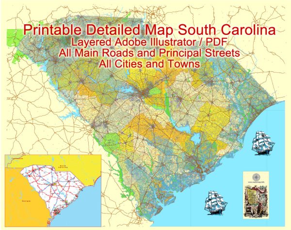
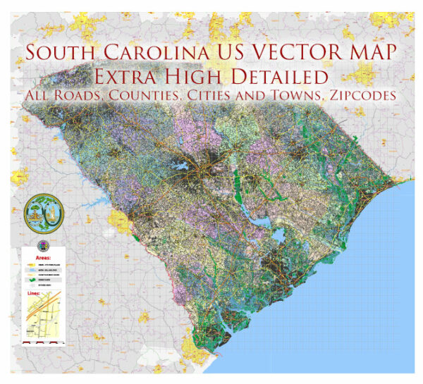
A general overview of some of the main cities, ports, towns, and principal roads in South Carolina, USA.
Vectormap.Net provide you with the most accurate and up-to-date vector maps in Adobe Illustrator, PDF and other formats, designed for editing and printing. Please read the vector map descriptions carefully.
Main Cities:
- Columbia:
- As the state capital, Columbia is a central hub for government and commerce.
- It is home to the University of South Carolina.
- Charleston:
- Known for its historic charm and well-preserved architecture.
- Features the historic district, waterfront parks, and cultural attractions.
- Greenville:
- A rapidly growing city known for its vibrant downtown and outdoor activities.
- Located in the Upstate region, near the foothills of the Blue Ridge Mountains.
- Myrtle Beach:
- A popular coastal city known for its beaches, golf courses, and entertainment options.
- A major tourist destination with a lively boardwalk and numerous attractions.
- Spartanburg:
- An industrial city with a focus on manufacturing and automotive industries.
- Home to several colleges and universities.
Ports:
- Port of Charleston:
- One of the largest and busiest seaports on the East Coast.
- Handles containerized cargo, automobiles, and various goods.
- Port of Georgetown:
- Located on the Winyah Bay, handling bulk cargo and forest products.
Towns:
- Hilton Head Island:
- A resort town known for its golf courses and beautiful beaches.
- Located on an island off the southern tip of the state.
- Beaufort:
- A charming coastal town known for its historic district and antebellum architecture.
- Often considered one of the most beautiful towns in the South.
- Rock Hill:
- A growing city in the northern part of the state.
- Home to Winthrop University and known for its sports facilities.
Principal Roads:
- Interstate 26 (I-26):
- Connects Charleston to Columbia and continues into other states.
- Interstate 85 (I-85):
- Runs through the Upstate region, connecting South Carolina to Atlanta and Charlotte.
- Interstate 20 (I-20):
- Crosses the state, connecting Columbia to Augusta, Georgia, and beyond.
- U.S. Highway 17:
- Coastal highway running through Charleston and Myrtle Beach.
- U.S. Highway 321:
- Connects Columbia to the Upstate region and into North Carolina.
These are just a few examples, and South Carolina has an extensive network of highways, roads, and small towns that contribute to its unique character and charm.


 Author: Kirill Shrayber, Ph.D. FRGS